Channel & Berth Profile
Pilotage, Tugs & Services
Pilotage compulsoryYES
Pilotage availableYES
Tug assistanceYES
Shore powerNO
Potable waterYES
MedicalYES
Facilities & Capabilities
Container—
Ro-Ro—
Liquid bulk—
Dry bulk—
Oil terminal—
Break bulk—
Dry dock—
RepairsNO
BunkeringYES
Rail link—
Dangerous cargo—
ISPS security—
Harbour Specifications
Harbour size
Very Small
Harbour type
Coastal (Breakwater)
Shelter
Fair
Water body
Sea of Japan; North Pacific Ocean
Tidal range
1 m
Pilotage
Yes
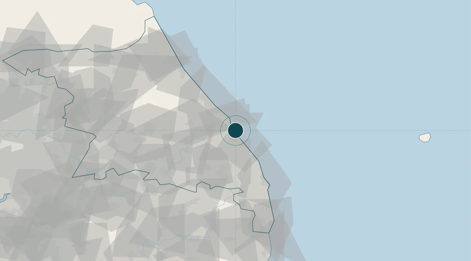
Location
Nearby Logistics Neighbours
Ports
- 1Tonghae5 km
- 2Sokch'o Hang84 km
- 3Pohang170 km
- 4Pyeongtaek Hang214 km
- 5Inchon221 km
Cities
- 1Tonghae4 km
- 2Bupyong/Incheon8 km
- 3Okgye/Gangneung8 km
- 4Donghae9 km
- 5Samcheok16 km
Airports
DatabookThe Record of Consolidated Knowledge
South Korea beyond logistics?