UN/LOCODE hub · South Korea
KRYOC

Yochon

36.6500°, 128.4500°
2
Transport functions

Transport Functions

Port
Road
UN/LOCODE

Hub Profile

Region
47
GeoNames

Location

Location of KRYOC
Natural Earth 10m (public domain) · 47 · KRYOC · 36.65, 128.45GoogleOSMYandex

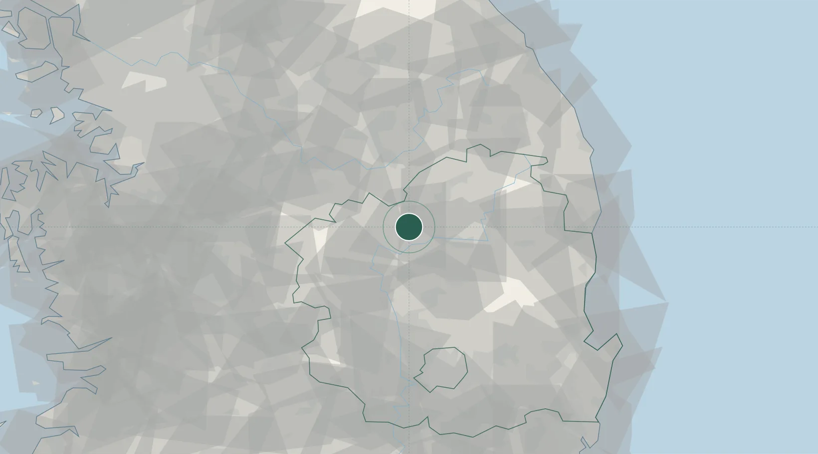
Nearby Logistics Neighbours

Cities
  1. 1Yecheon-gun0 km
  2. 2Yeongju22 km
  3. 3Mungyeong25 km
  4. 4Andong26 km
  5. 5Sangju37 km
Nearest neighbours — logibook spatial index (haversine) over the source coordinates
Ports
  1. 1Pohang107 km
  2. 2Tonghae116 km
  3. 3Mukho118 km
  4. 4Pyeongtaek Hang152 km
  5. 5Ulsan158 km
Nearest neighbours — logibook spatial index (haversine) over the source coordinates
Airports
  1. 1Yecheon Airbase9 km
  2. 2Jungwon Air Base/Chungju Airport66 km
  3. 3Cheongju International Airport/Cheongju Air Base (K-59/G-513)85 km
  4. 4Daegu International Airport86 km
  5. 5Wonju Airport / Hoengseong Air Base (K-38/K-46)98 km
Nearest neighbours — logibook spatial index (haversine) over the source coordinates
Trade Zones
  1. 1North Gyeongsang26 km
  2. 2Gumi Foreign Investment Zone56 km
  3. 3Chungju 1General Industrial Complex61 km
  4. 4Gumi 1 National Industrial Complex61 km
  5. 5Jecheon General Industrial Complex61 km
Nearest neighbours — logibook spatial index (haversine) over the source coordinates
DatabookThe Record of Consolidated Knowledge
South Korea beyond logistics?
Browse databook

All Sources

LocationsUN/LOCODE
UN/LOCODE — free
Portsthe NGA World Port Index
Public domain (US gov)
AirportsOurAirports
Public domain
Trade Zonesthe World Bank SEZ database
CC BY 4.0
Trade ZonesOpen Zone Map
CC BY
← South Korea locations