Large airport · South Korea
Cheongju International Airport/Cheongju Air Base (K-59/G-513)RKTU
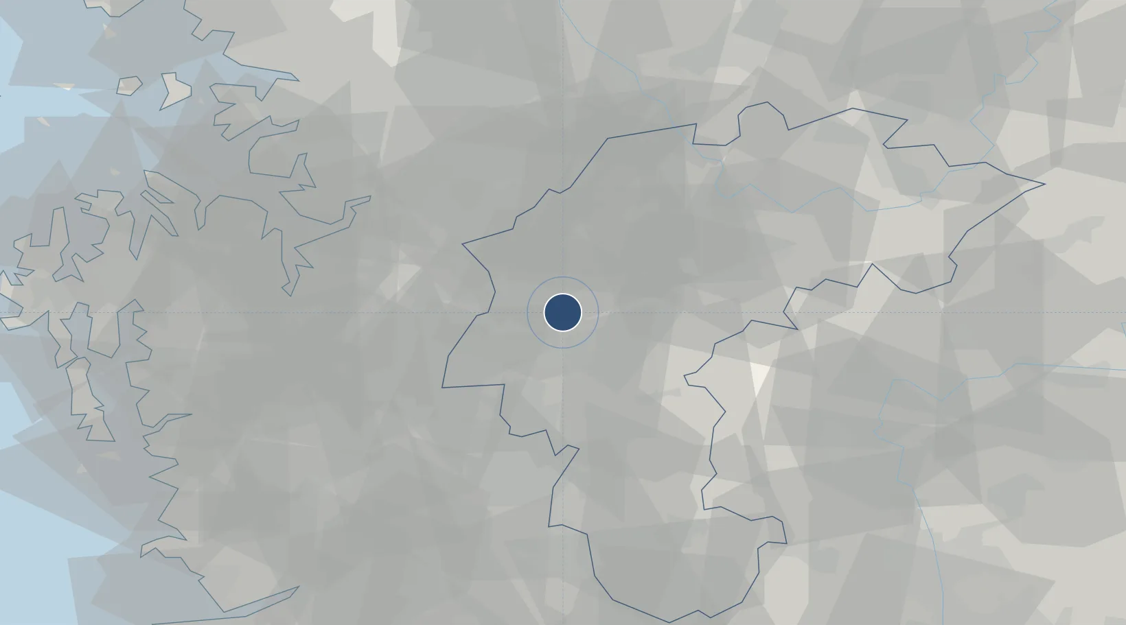
36.7156°, 127.5003°
9,000 ft
Longest runway
2
Runways
191 ft
Elevation
Runway & Layout

Radio Frequencies
ATIS
128.85 MHz
APP
134 MHz
JUNGWON APP
DEP
134 MHz
JUNGWON DEP
ACP
120 MHz
BRICKWALL
RKTU_APP
134 MHz
Cheongju Intl Approach
RKTU_GND
120.65 MHz
Cheongju Intl Ground
RKTU_TWR
118.7 MHz
Cheongju Intl Tower
Navaids
CHJ TACAN Cheongju 110.50 MHz
CHO VOR-DME Cheongju 109.00 MHz
Runways · 2
| Runway | Dimensions | Surface | True heading | Lit |
|---|---|---|---|---|
| 06L/24R | 9,000 × 200ft | Concrete | 052° | ✓ |
| 06R/24L | 9,000 × 150ft | Concrete | 052° | ✓ |
Airport Specifications
IATA code
CJJ
ICAO code
RKTU
Airport class
Large airport
Scheduled service
Yes
Runway surface
Concrete
Served city
Cheongju
Location
Nearby Logistics Neighbours
Airports
- 1Jungwon Air Base/Chungju Airport49 km
- 2Camp Humphreys (A-511) Desiderio Army Airfield50 km
- 3Osan Air Base59 km
- 4Suwon Airport73 km
- 5Yecheon Airbase76 km
Cities
- 1Geumsan-gun8 km
- 2Cheongju9 km
- 3Jeungpyeung11 km
- 4Osong21 km
- 5Yeongi-gun23 km
Ports
- 1Pyeongtaek Hang70 km
- 2Daesan Hang103 km
- 3Kunsan114 km
- 4Inchon115 km
- 5Mukho172 km
Trade Zones
DatabookThe Record of Consolidated Knowledge
South Korea beyond logistics?