Seaport · South Korea
PohangKRKPO
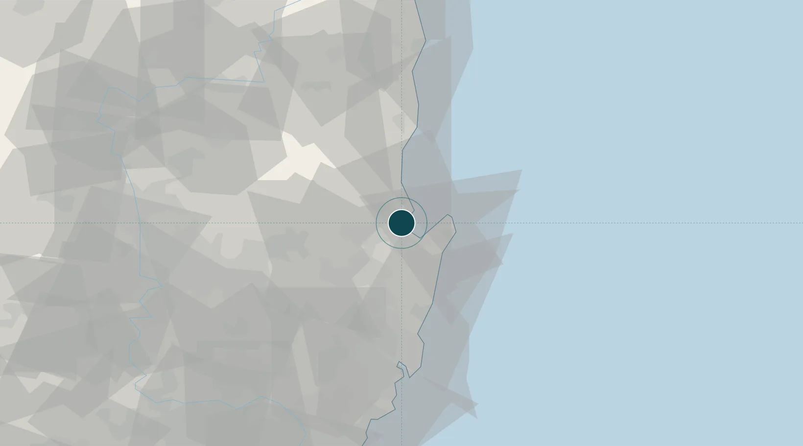
36.0500°, 129.3833°
17.1 m
Channel depth
1
Container terminals
39.8
Port liner connectivity
Channel & Berth Profile
Pilotage, Tugs & Services
Pilotage compulsoryYES
Pilotage availableYES
Tug assistanceYES
Salvage tugsYES
Potable waterYES
MedicalYES
Garbage disposalYES
Facilities & Capabilities
Container—
Ro-Ro—
Liquid bulk—
Dry bulk—
Oil terminal—
Break bulk—
Dry dock—
RepairsNO
BunkeringYES
Rail linkYES
Dangerous cargo—
ISPS security—
Harbour Specifications
Harbour size
Small
Harbour type
Open Roadstead
Shelter
Good
Water body
Sea of Japan; North Pacific Ocean
Tidal range
0.3 m
Pilotage
Yes
Liner Connectivity
39.8
PLSCI
Port Liner Shipping Connectivity Index for Pohang, as published by UNCTAD for the latest available quarter. Higher values indicate stronger scheduled liner-shipping integration.
Shown relative to the highest per-port PLSCI in the dataset (1,657.9).
Location
Container Terminals · 1
POHANG INTERNATIONAL CONTAINER TERMINAL (PICT)
PICTC POHANG YEONGILMAN SHINHANG PORT CO.
Nearby Logistics Neighbours
Cities
- 1Sinhang/Pohang15 km
- 2Guryongpo17 km
- 3Gyeongju27 km
- 4Ganggu33 km
- 5Yeongdeok-gun39 km
Airports
- 1Pohang Airport (G-815/K-3)8 km
- 2Ulsan Airport51 km
- 3Daegu International Airport68 km
- 4Gimhae International Airport105 km
- 5Yecheon Airbase113 km
Trade Zones
DatabookThe Record of Consolidated Knowledge
South Korea beyond logistics?