Industrial Complex · South Korea

Jecheon General Industrial Complex
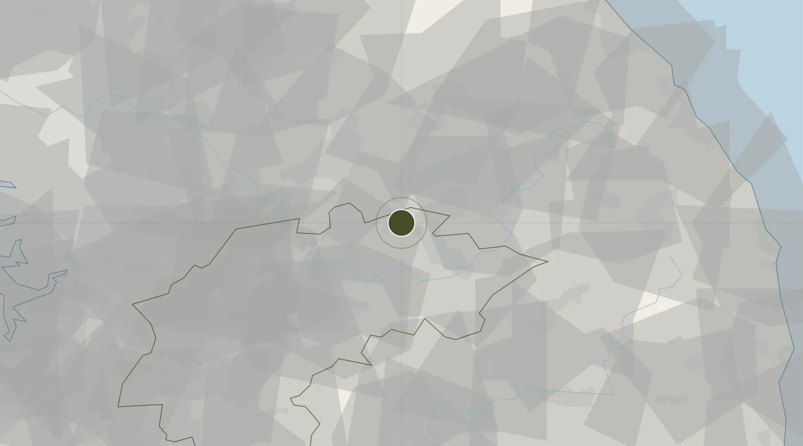
37.1513°, 128.1605°
120 ha
Zone area
96.3 km
Nearest port
27.8 km
Nearest airport

Gateway access

Nearest neighbours — logibook spatial index (haversine) over the source coordinates

Zone profile

Zone type
Industrial Complex
the World Bank SEZ database
Region
North Chungcheong
the World Bank SEZ database
Established
2005
the World Bank SEZ database
Management
Public agency
the World Bank SEZ database
Operator
Jecheon-si city administration
the World Bank SEZ database
Regulatory authority
National, provincial or city-level governments
the World Bank SEZ database
Legal framework
Industrial Sites and Development Act, and the Industrial Placement and Factory Act
the World Bank SEZ database

Location

Location of KOR72
Natural Earth 10m (public domain) · North Chungcheong · KOR72 · 37.15, 128.16GoogleOSMYandex

Fiscal & incentives

Corporate tax
22%
the World Bank SEZ database
Tax relief
100% exempt
the World Bank SEZ database
Relief duration
5 years
the World Bank SEZ database
VAT
No exemption
the World Bank SEZ database
Import duty (inputs)
0% exempt
the World Bank SEZ database
Import duty (capex)
100% exempt
the World Bank SEZ database
Profit repatriation
No exemption
the World Bank SEZ database
Capital gains
No exemption
the World Bank SEZ database
Withholding tax
No exemption
the World Bank SEZ database
Min. investment
$30M
the World Bank SEZ database
Min. export
0%
the World Bank SEZ database
Employment incentive
Employment and training subsidies available to companies that newly employ 20 more individuals
the World Bank SEZ database
Developer incentive
No established framework
the World Bank SEZ database

Nearby Logistics Neighbours

Ports
  1. 1Mukho96 km
  2. 2Tonghae97 km
  3. 3Pyeongtaek Hang122 km
  4. 4Sokch'o Hang123 km
  5. 5Inchon141 km
Nearest neighbours — logibook spatial index (haversine) over the source coordinates
Airports
  1. 1Jungwon Air Base/Chungju Airport28 km
  2. 2Wonju Airport / Hoengseong Air Base (K-38/K-46)36 km
  3. 3Yecheon Airbase60 km
  4. 4Cheongju International Airport/Cheongju Air Base (K-59/G-513)76 km
  5. 5Gangneung Airport (K-18)96 km
Nearest neighbours — logibook spatial index (haversine) over the source coordinates
Cities
  1. 1Jecheon5 km
  2. 2Tanyang25 km
  3. 3Danyang-gun25 km
  4. 4Yeongwol-gun26 km
  5. 5Wonju29 km
Nearest neighbours — logibook spatial index (haversine) over the source coordinates
DatabookThe Record of Consolidated Knowledge
South Korea beyond logistics?
Browse databook

All Sources

Trade Zonesthe World Bank SEZ database
CC BY 4.0
Portsthe NGA World Port Index
Public domain (US gov)
AirportsOurAirports
Public domain
LocationsUN/LOCODE
UN/LOCODE — free
← South Korea trade zones