Transport Functions
Rail
Road
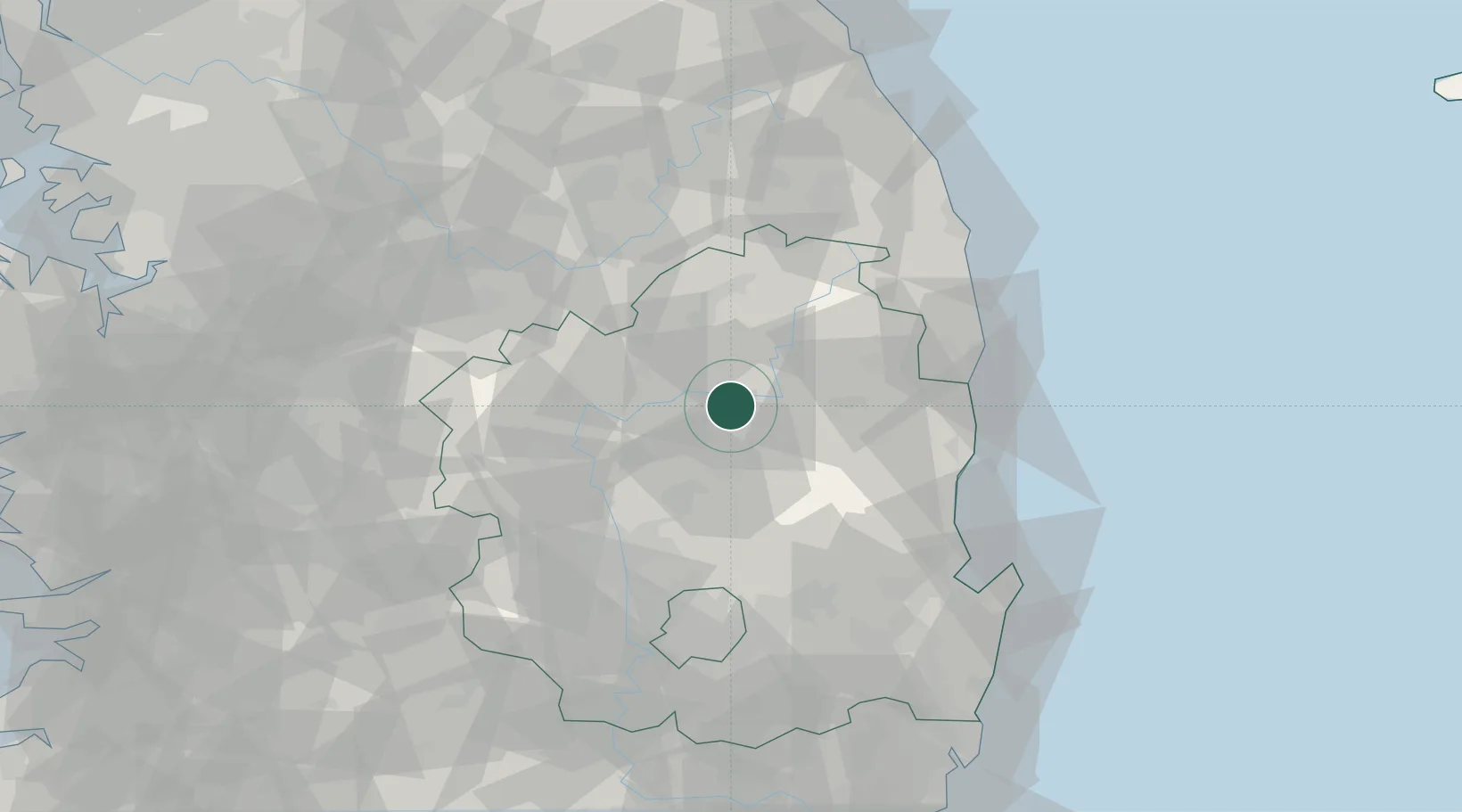
Hub Profile
Place type
Regional capital
Region
Gyeongsangbuk-do
Population
153,348
Time zone
Asia/Seoul
Elevation
103 m
Location
Nearby Logistics Neighbours
Cities
- 1Uljin-gun22 km
- 2Yecheon-gun26 km
- 3Yochon26 km
- 4Yeongju29 km
- 5Bonghwa-gun35 km
Airports
Trade Zones
DatabookThe Record of Consolidated Knowledge
South Korea beyond logistics?