Transport Functions
Rail
Road
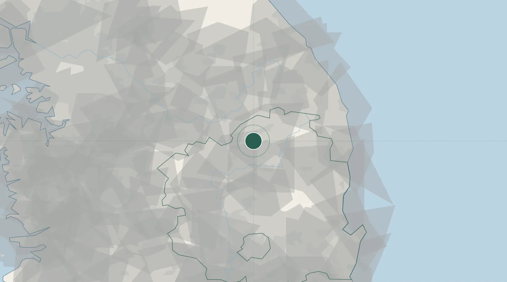
Hub Profile
Place type
Populated place
Region
Gyeongsangbuk-do
Population
84,625
Time zone
Asia/Seoul
Elevation
145 m
Location
Nearby Logistics Neighbours
Cities
- 1Yecheon-gun22 km
- 2Yochon22 km
- 3Andong29 km
- 4Tanyang31 km
- 5Danyang-gun31 km
Ports
- 1Tonghae94 km
- 2Mukho96 km
- 3Pohang108 km
- 4Sokch'o Hang156 km
- 5Pyeongtaek Hang163 km
Airports
DatabookThe Record of Consolidated Knowledge
South Korea beyond logistics?