About
Methodology
Sources
Licensing
English
EN
English
TR
Türkçe
DE
Deutsch
FR
Français
ES
Español
IT
Italiano
PT
Português
NL
Nederlands
PL
Polski
RU
Русский
UK
Українська
CS
Čeština
RO
Română
EL
Ελληνικά
BG
Български
AR
العربية
FA
فارسی
UR
اردو
HI
हिन्दी
BN
বাংলা
ID
Bahasa Indonesia
VI
Tiếng Việt
ZH
中文
JA
日本語
KO
한국어
logibook
/
Countries
/
South Korea
/
Locations
/
Yecheon-gun
UN/LOCODE hub ·
South Korea
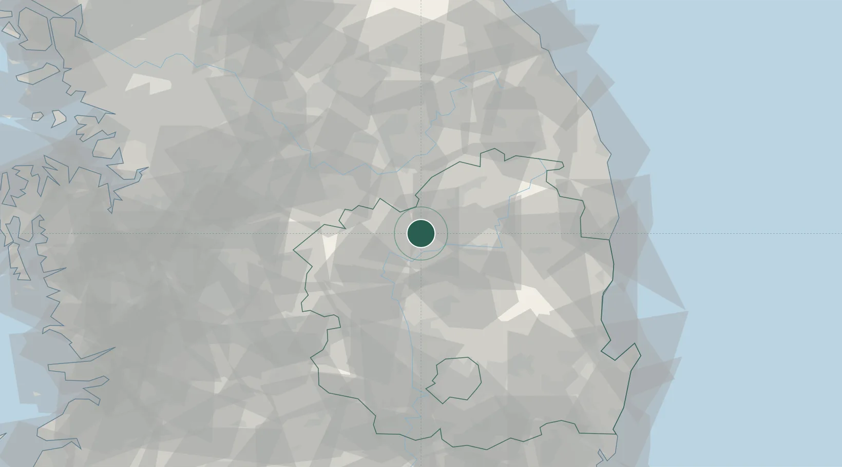
KR
YEC
Yecheon-gun
36.6500°, 128.4500°
3
Transport functions
Transport Functions
Rail
Road
Airport
UN/LOCODE
Hub Profile
Region
47
GeoNames
Location
Natural Earth 10m (public domain) · 47 · KRYEC · 36.65, 128.45
Google ↗
OSM ↗
Yandex ↗
Nearby Logistics Neighbours
Cities
1
Yochon
0 km
2
Yeongju
22 km
3
Mungyeong
25 km
4
Andong
26 km
5
Sangju
37 km
Nearest neighbours — logibook spatial index (haversine) over the source coordinates
Ports
1
Pohang
107 km
2
Tonghae
116 km
3
Mukho
118 km
4
Pyeongtaek Hang
152 km
5
Ulsan
158 km
Nearest neighbours — logibook spatial index (haversine) over the source coordinates
Airports
1
Yecheon Airbase
9 km
2
Jungwon Air Base/Chungju Airport
66 km
3
Cheongju International Airport/Cheongju Air Base (K-59/G-513)
85 km
4
Daegu International Airport
86 km
5
Wonju Airport / Hoengseong Air Base (K-38/K-46)
98 km
Nearest neighbours — logibook spatial index (haversine) over the source coordinates
Trade Zones
1
North Gyeongsang
26 km
2
Gumi Foreign Investment Zone
56 km
3
Chungju 1General Industrial Complex
61 km
4
Gumi 1 National Industrial Complex
61 km
5
Jecheon General Industrial Complex
61 km
Nearest neighbours — logibook spatial index (haversine) over the source coordinates
Data
book
The Record of Consolidated Knowledge
South Korea beyond logistics?
Browse databook
→
All Sources
Locations
UN/LOCODE
UN/LOCODE — free
↗
Ports
the NGA World Port Index
Public domain (US gov)
↗
Airports
OurAirports
Public domain
↗
Trade Zones
the World Bank SEZ database
CC BY 4.0
↗
Trade Zones
Open Zone Map
CC BY
↗
← South Korea locations