Transport Functions
Rail
Road
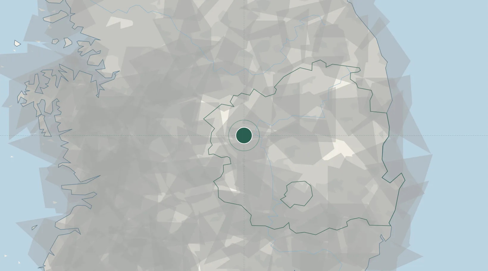
Hub Profile
Place type
Populated place
Region
Gyeongsangbuk-do
Population
101,267
Time zone
Asia/Seoul
Elevation
61 m
Location
Nearby Logistics Neighbours
Cities
- 1Mungyeong19 km
- 2Nonsan33 km
- 3Gimcheon34 km
- 4Yecheon-gun37 km
- 5Yochon37 km
Ports
- 1Pohang118 km
- 2Pyeongtaek Hang137 km
- 3Masan142 km
- 4Kunsan146 km
- 5Chinae150 km
Airports
Trade Zones
DatabookThe Record of Consolidated Knowledge
South Korea beyond logistics?