Seaport · South Korea
UlsanKRUSN
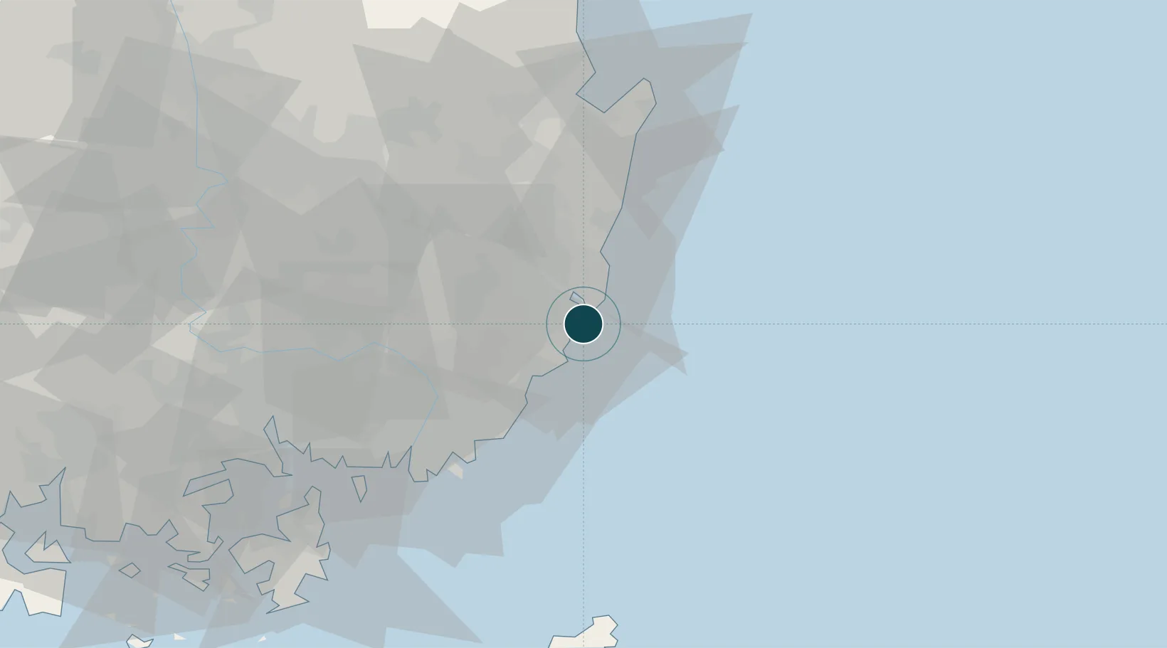
35.4500°, 129.4000°
18.6 m
Channel depth
2
Container terminals
188.0
Port liner connectivity
Channel & Berth Profile
Pilotage, Tugs & Services
Pilotage compulsoryYES
Pilotage availableYES
Pilotage advisableYES
Tug assistanceYES
Salvage tugsYES
Potable waterYES
Diesel bunkersYES
MedicalYES
Garbage disposalYES
Facilities & Capabilities
Container—
Ro-Ro—
Liquid bulk—
Dry bulk—
Oil terminal—
Break bulk—
Dry dockNO
RepairsNO
BunkeringYES
Rail linkYES
Dangerous cargo—
ISPS security—
Harbour Specifications
Harbour size
Medium
Harbour type
River (Natural)
Shelter
Excellent
Water body
Korea Strait; North Pacific Ocean
Tidal range
1 m
Overhead limit
Yes
Pilotage
Yes
Liner Connectivity
188
PLSCI
Port Liner Shipping Connectivity Index for Ulsan, as published by UNCTAD for the latest available quarter. Higher values indicate stronger scheduled liner-shipping integration.
Shown relative to the highest per-port PLSCI in the dataset (1,657.9).
Location
Container Terminals · 2
JEONG IL ULSAN CONTAINER TERMINAL
JUCTC JEONG IL ULSAN CONTAINER TERMINAL CO., LTD
ULSAN NEWPORT CONTAINER TERMINAL (UNCT)
UDITC ULSAN NEWPORT CONTAINER TERMINAL CO., LTD
Nearby Logistics Neighbours
Cities
- 1Onsan/Ulsan5 km
- 2Mipo/Ulsan8 km
- 3Gijang-gun/Busan29 km
- 4Yangsan35 km
- 5Hapcheon-gun42 km
Airports
Trade Zones
DatabookThe Record of Consolidated Knowledge
South Korea beyond logistics?