Medium airport · South Korea
Yecheon AirbaseRKTY
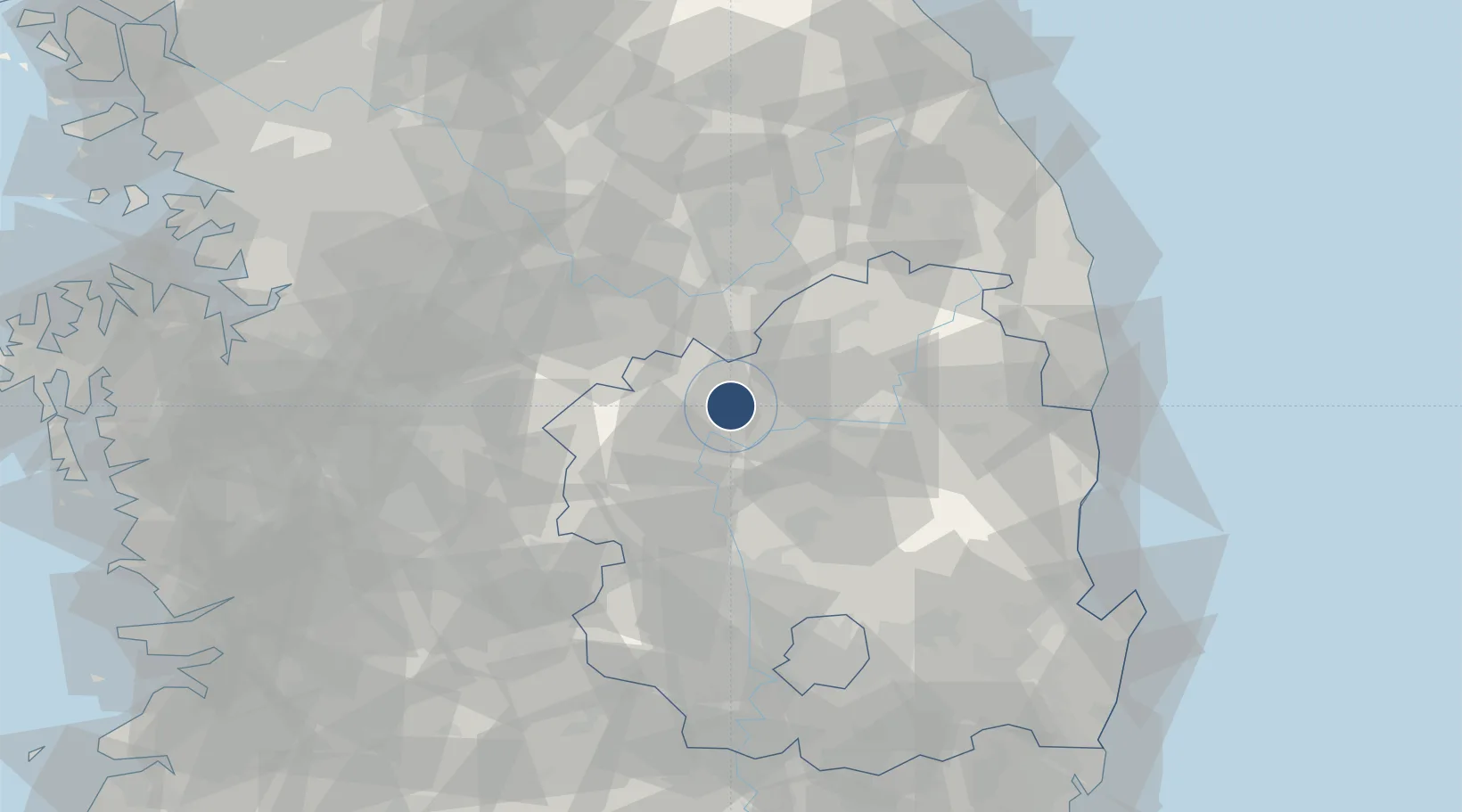
36.6304°, 128.3497°
9,000 ft
Longest runway
1
Runways
354 ft
Elevation
Runway & Layout

Radio Frequencies
ATIS
136.8 MHz
TWR
124.35 MHz
GND
124.35 MHz
APP
134.5 MHz
DEP
134.5 MHz
ACP
120 MHz
BRICKWALL
Navaids
CUN VOR-DME Yecheon 114.80 MHz
YCN TACAN Yecheon 108.90 MHz
Runways · 1
| Runway | Dimensions | Surface | True heading | Lit |
|---|---|---|---|---|
| 10/28 | 9,000 × 150ft | Concrete | 089° | ✓ |
Airport Specifications
IATA code
YEC
ICAO code
RKTY
Airport class
Medium airport
Scheduled service
No
Runway surface
Concrete
Served city
Yecheon-ri
Location
Nearby Logistics Neighbours
Airports
Cities
- 1Yecheon-gun9 km
- 2Yochon9 km
- 3Mungyeong16 km
- 4Sangju30 km
- 5Yeongju30 km
Ports
- 1Pohang113 km
- 2Tonghae123 km
- 3Mukho124 km
- 4Pyeongtaek Hang144 km
- 5Ulsan162 km
Trade Zones
DatabookThe Record of Consolidated Knowledge
South Korea beyond logistics?