Foreign Investment Zone · South Korea

Gumi Foreign Investment Zone
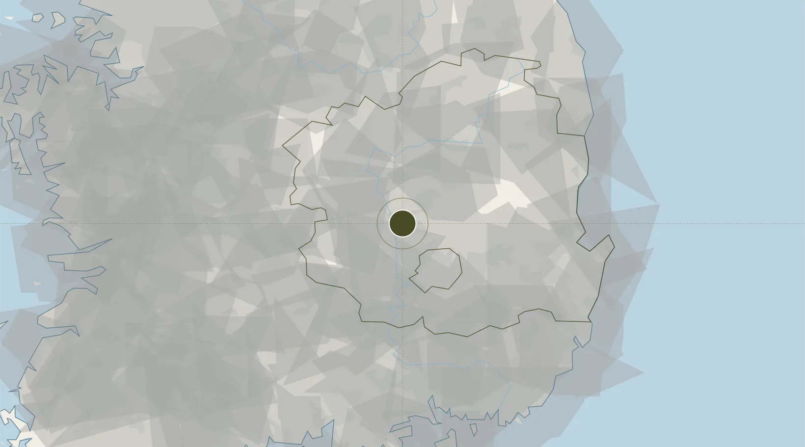
36.1437°, 128.4404°
134 ha
Zone area
85.4 km
Nearest port
33.9 km
Nearest airport

Gateway access

Nearest neighbours — logibook spatial index (haversine) over the source coordinates

Zone profile

Zone type
Foreign Investment Zone
the World Bank SEZ database
Region
North Gyeongsang
the World Bank SEZ database
Established
2002
the World Bank SEZ database
Management
State-owned enterprise
the World Bank SEZ database
Operator
KICOX
the World Bank SEZ database
Regulatory authority
Mayor or provincial governor
the World Bank SEZ database
Legal framework
Foreign Investment Promotion Law and Enforcement Decree
the World Bank SEZ database

Location

Location of KOR46
Natural Earth 10m (public domain) · North Gyeongsang · KOR46 · 36.14, 128.44GoogleOSMYandex

Fiscal & incentives

Corporate tax
22%
the World Bank SEZ database
Tax relief
100% exempt
the World Bank SEZ database
Relief duration
3 to 5 years
the World Bank SEZ database
VAT
No exemption
the World Bank SEZ database
Import duty (inputs)
0% exempt
the World Bank SEZ database
Import duty (capex)
100% exempt
the World Bank SEZ database
Profit repatriation
No exemption
the World Bank SEZ database
Capital gains
No exemption
the World Bank SEZ database
Withholding tax
No exemption
the World Bank SEZ database
Min. investment
Manufacturing investment of $10 million; tourism investment of $10 million; logistics investment of $5 million; no minimum requirement for high-tech firms
the World Bank SEZ database
Min. export
0%
the World Bank SEZ database
Employment incentive
Employment and training subsidies
the World Bank SEZ database
Developer incentive
No established framework
the World Bank SEZ database

Nearby Logistics Neighbours

Ports
  1. 1Pohang85 km
  2. 2Masan107 km
  3. 3Chinae114 km
  4. 4Ulsan116 km
  5. 5Busan128 km
Nearest neighbours — logibook spatial index (haversine) over the source coordinates
Airports
  1. 1Daegu International Airport34 km
  2. 2Yecheon Airbase55 km
  3. 3Pohang Airport (G-815/K-3)90 km
  4. 4Ulsan Airport102 km
  5. 5Cheongju International Airport/Cheongju Air Base (K-59/G-513)105 km
Nearest neighbours — logibook spatial index (haversine) over the source coordinates
Cities
  1. 1Gumi8 km
  2. 2Gunwi-gun15 km
  3. 3Chilgok-gun18 km
  4. 4Waegwan19 km
  5. 5Goryeong-gun26 km
Nearest neighbours — logibook spatial index (haversine) over the source coordinates
Trade Zones
  1. 1Gumi 1 National Industrial Complex7 km
  2. 2Waegwan General Industrial Complex20 km
  3. 3Daegu Dyeing General Industrial Complex30 km
  4. 4Geomdan General Industrial Complex30 km
  5. 5Daegu City Regulation-Free Zone33 km
Nearest neighbours — logibook spatial index (haversine) over the source coordinates
DatabookThe Record of Consolidated Knowledge
South Korea beyond logistics?
Browse databook

All Sources

Trade Zonesthe World Bank SEZ database
CC BY 4.0
Portsthe NGA World Port Index
Public domain (US gov)
AirportsOurAirports
Public domain
LocationsUN/LOCODE
UN/LOCODE — free
← South Korea trade zones