UN/LOCODE hub · South Korea
KRMGG
Mungyeong
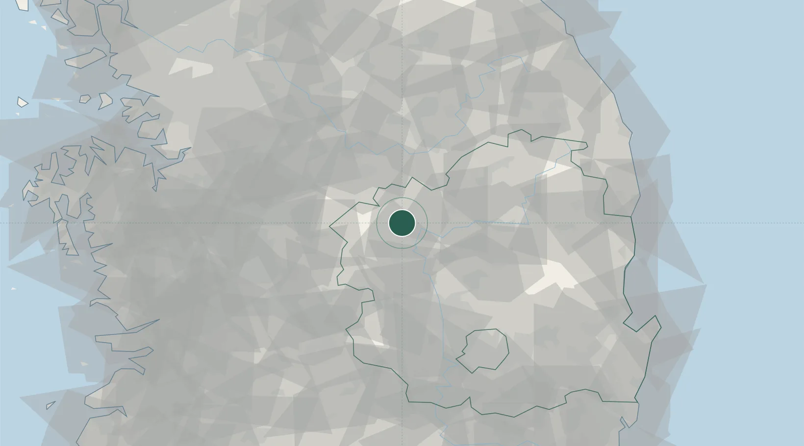
36.5833°, 128.1833°
77,304
Population
2
Transport functions
Transport Functions
Rail
Road
Hub Profile
Place type
Populated place
Region
Gyeongsangbuk-do
Population
77,304
Time zone
Asia/Seoul
Elevation
78 m
Location
Nearby Logistics Neighbours
Cities
- 1Sangju19 km
- 2Yecheon-gun25 km
- 3Yochon25 km
- 4Jincheon-gun37 km
- 5Goesan-gun43 km
Ports
- 1Pohang123 km
- 2Pyeongtaek Hang132 km
- 3Tonghae136 km
- 4Mukho137 km
- 5Kunsan156 km
Airports
Trade Zones
DatabookThe Record of Consolidated Knowledge
South Korea beyond logistics?