Large airport · South Korea

Daegu International AirportRKTN
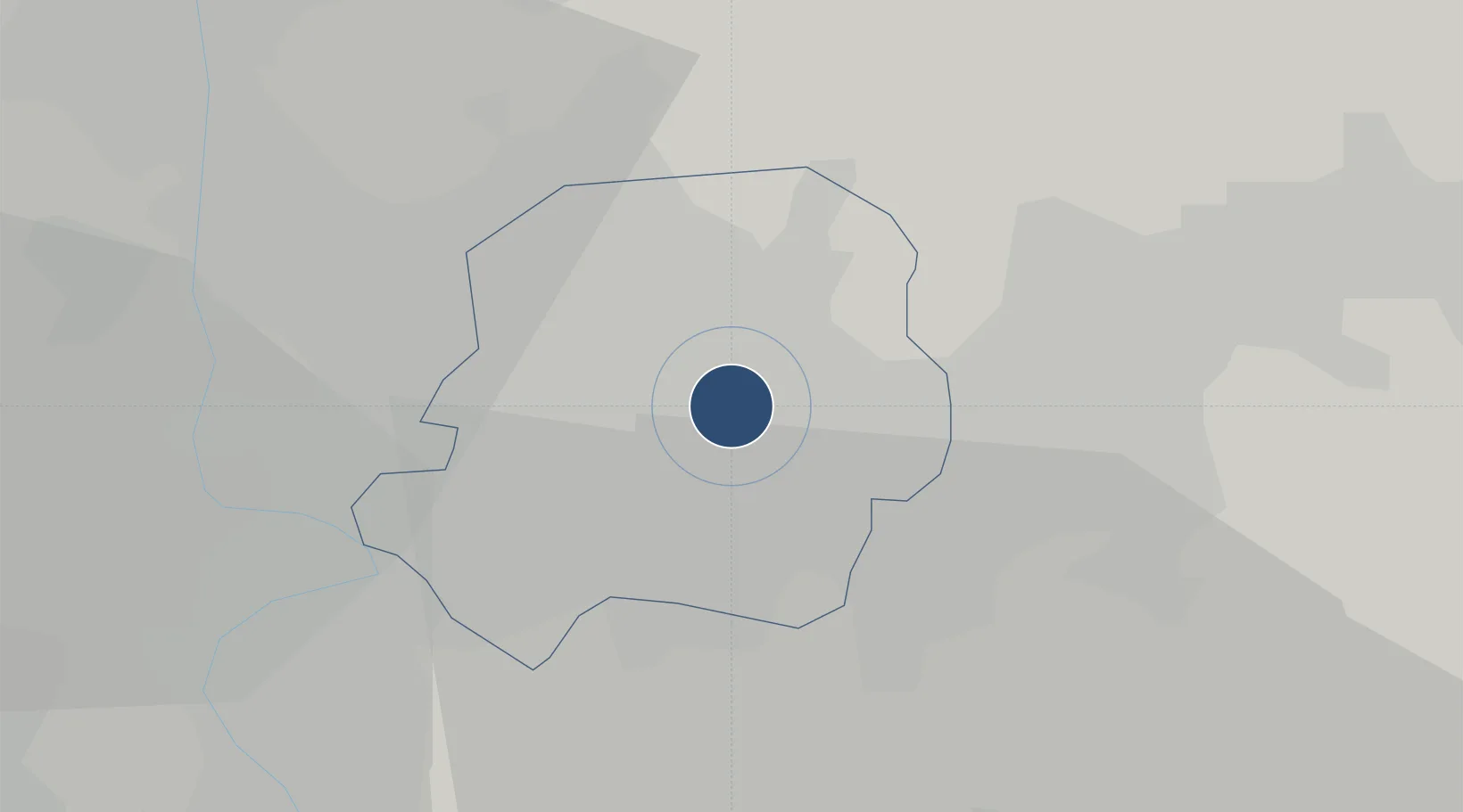
35.8944°, 128.6570°
9,039 ft
Longest runway
2
Runways
116 ft
Elevation

Runway & Layout

Daegu International Airport runway & taxiway layout
Runway & taxiway layout — OpenStreetMap (ODbL) / OurAirports

Radio Frequencies

ATIS
127.65 MHz
CLD
118.2 MHz
CLNC DEL
ACP
120 MHz
BRICKWALL
PMSV
34.65 MHz
KUNSAN METRO
RKTN_APP
135.9 MHz
Daegu Intl Approach
RKTN_DEP
135.9 MHz
Daegu Intl Departure
RKTN_GND
118.2 MHz
Daegu Intl Ground
RKTN_TWR
126.2 MHz
Daegu Intl Tower
OurAirports

Navaids

DOC VOR-DME Donchon 116.50 MHz
TAG TACAN Daegu 117.80 MHz
TGU VORTAC Dalsung 112.20 MHz
OurAirports

Runways · 2

RunwayDimensions SurfaceTrue headingLit
13R/31L 9,039 × 150ft Concrete 124°
13L/31R 9,000 × 150ft Concrete 124°
OurAirports

Airport Specifications

IATA code
TAE
OurAirports
ICAO code
RKTN
OurAirports
Airport class
Large airport
OurAirports
Scheduled service
Yes
OurAirports
Runway surface
Concrete
OurAirports
Served city
Daegu
OurAirports

Location

Location of RKTN
Natural Earth 10m (public domain) · Daegu · RKTN · 35.89, 128.66GoogleOSMYandex

Nearby Logistics Neighbours

Airports
  1. 1Pohang Airport (G-815/K-3)70 km
  2. 2Ulsan Airport71 km
  3. 3Gimhae International Airport84 km
  4. 4Yecheon Airbase86 km
  5. 5Sacheon Airport / Sacheon Air Base104 km
Nearest neighbours — logibook spatial index (haversine) over the source coordinates
Cities
  1. 1Daegu7 km
  2. 2Gyeongsan13 km
  3. 3Dalseong-gun/Daegu13 km
  4. 4Yongsan24 km
  5. 5Chilgok-gun25 km
Nearest neighbours — logibook spatial index (haversine) over the source coordinates
Ports
  1. 1Pohang68 km
  2. 2Masan80 km
  3. 3Ulsan83 km
  4. 4Chinae85 km
  5. 5Busan95 km
Nearest neighbours — logibook spatial index (haversine) over the source coordinates
Trade Zones
  1. 1Geomdan General Industrial Complex4 km
  2. 2Sinseo Medivalley7 km
  3. 3Suseong Medical District7 km
  4. 4Daegu Dyeing General Industrial Complex9 km
  5. 5Daegu City Regulation-Free Zone9 km
Nearest neighbours — logibook spatial index (haversine) over the source coordinates
DatabookThe Record of Consolidated Knowledge
South Korea beyond logistics?
Browse databook

All Sources

AirportsOurAirports
Public domain
Portsthe NGA World Port Index
Public domain (US gov)
LocationsUN/LOCODE
UN/LOCODE — free
Trade Zonesthe World Bank SEZ database
CC BY 4.0
Trade ZonesOpen Zone Map
CC BY
InfrastructureOpenStreetMap
ODbL 1.0
← South Korea airports