Industrial Complex · South Korea

Gumi 1 National Industrial Complex Active
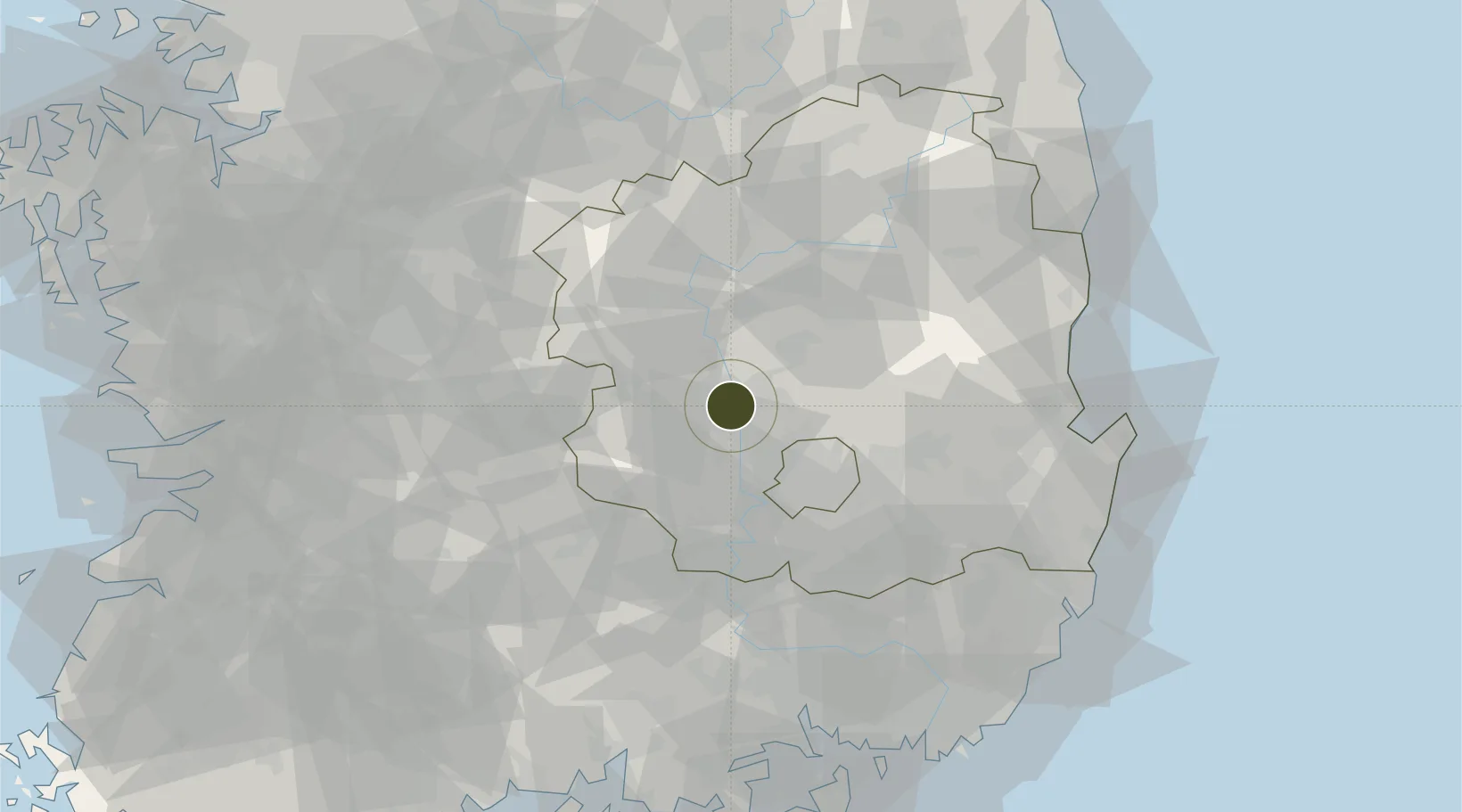
36.1037°, 128.3785°
57 ha
Zone area
90.5 km
Nearest port
34.2 km
Nearest airport

Gateway access

Nearest neighbours — logibook spatial index (haversine) over the source coordinates

Zone profile

Zone type
Industrial Complex
the World Bank SEZ database
Region
North Gyeongsang
the World Bank SEZ database
Status
Active
the World Bank SEZ database
Established
1996
the World Bank SEZ database
Management
State-owned enterprise
the World Bank SEZ database
Operator
Korea Water Resources Corporation
the World Bank SEZ database
Regulatory authority
National, provincial or city-level governments
the World Bank SEZ database
Legal framework
Industrial Sites and Development Act, and the Industrial Placement and Factory Act
the World Bank SEZ database

Location

Location of KOR48
Natural Earth 10m (public domain) · North Gyeongsang · KOR48 · 36.10, 128.38GoogleOSMYandex

Fiscal & incentives

Corporate tax
22%
the World Bank SEZ database
Tax relief
100% exempt
the World Bank SEZ database
Relief duration
5 years
the World Bank SEZ database
VAT
No exemption
the World Bank SEZ database
Import duty (inputs)
0% exempt
the World Bank SEZ database
Import duty (capex)
100% exempt
the World Bank SEZ database
Profit repatriation
No exemption
the World Bank SEZ database
Capital gains
No exemption
the World Bank SEZ database
Withholding tax
No exemption
the World Bank SEZ database
Min. investment
$30M
the World Bank SEZ database
Min. export
0%
the World Bank SEZ database
Employment incentive
Employment and training subsidies available to companies that newly employ 20 more individuals
the World Bank SEZ database
Developer incentive
No established framework
the World Bank SEZ database

Nearby Logistics Neighbours

Ports
  1. 1Pohang91 km
  2. 2Masan104 km
  3. 3Chinae111 km
  4. 4Ulsan117 km
  5. 5Busan126 km
Nearest neighbours — logibook spatial index (haversine) over the source coordinates
Airports
  1. 1Daegu International Airport34 km
  2. 2Yecheon Airbase59 km
  3. 3Pohang Airport (G-815/K-3)95 km
  4. 4Cheongju International Airport/Cheongju Air Base (K-59/G-513)104 km
  5. 5Ulsan Airport105 km
Nearest neighbours — logibook spatial index (haversine) over the source coordinates
Cities
  1. 1Gumi2 km
  2. 2Waegwan13 km
  3. 3Chilgok-gun14 km
  4. 4Goryeong-gun19 km
  5. 5Gunwi-gun22 km
Nearest neighbours — logibook spatial index (haversine) over the source coordinates
Trade Zones
  1. 1Gumi Foreign Investment Zone7 km
  2. 2Waegwan General Industrial Complex16 km
  3. 3Daegu Dyeing General Industrial Complex29 km
  4. 4Geomdan General Industrial Complex30 km
  5. 5Seongseo 1 General Industrial Complex31 km
Nearest neighbours — logibook spatial index (haversine) over the source coordinates
DatabookThe Record of Consolidated Knowledge
South Korea beyond logistics?
Browse databook

All Sources

Trade Zonesthe World Bank SEZ database
CC BY 4.0
Portsthe NGA World Port Index
Public domain (US gov)
AirportsOurAirports
Public domain
LocationsUN/LOCODE
UN/LOCODE — free
← South Korea trade zones