Transport Functions
Rail
Road
Hub Profile
Region
42
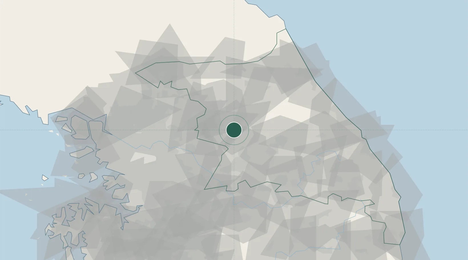
Location
Nearby Logistics Neighbours
Cities
- 1Chuncheon24 km
- 2Hoengseong-gun24 km
- 3Yangpyeong-gun35 km
- 4Gapyeong-gun37 km
- 5Dongducheon38 km
Ports
- 1Sokch'o Hang85 km
- 2Mukho109 km
- 3Tonghae113 km
- 4Inchon114 km
- 5Pyeongtaek Hang122 km
Airports
DatabookThe Record of Consolidated Knowledge
South Korea beyond logistics?