Transport Functions
Rail
Road
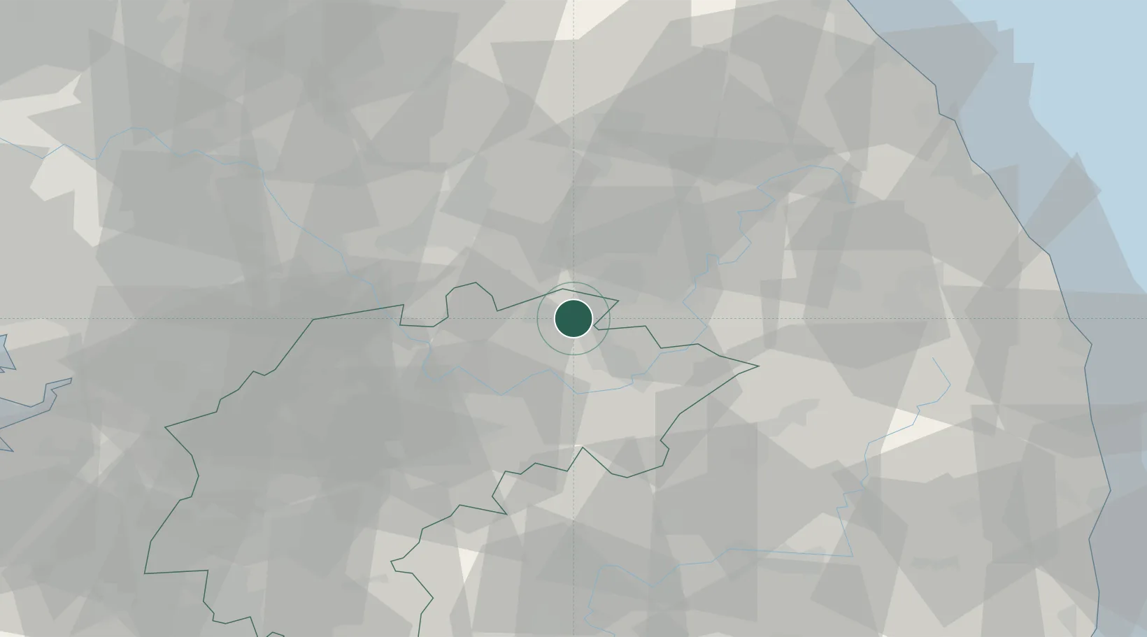
Hub Profile
Place type
Populated place
Region
Jeollabuk-do
Time zone
Asia/Seoul
Elevation
73 m
Location
Nearby Logistics Neighbours
Cities
- 1Tanyang20 km
- 2Danyang-gun20 km
- 3Yeongwol-gun21 km
- 4Pyeongchang-gun30 km
- 5Wonju34 km
Ports
- 1Mukho93 km
- 2Tonghae94 km
- 3Sokch'o Hang123 km
- 4Pyeongtaek Hang127 km
- 5Inchon146 km
Airports
DatabookThe Record of Consolidated Knowledge
South Korea beyond logistics?