Transport Functions
Rail
Road
Multimodal
Hub Profile
Region
43
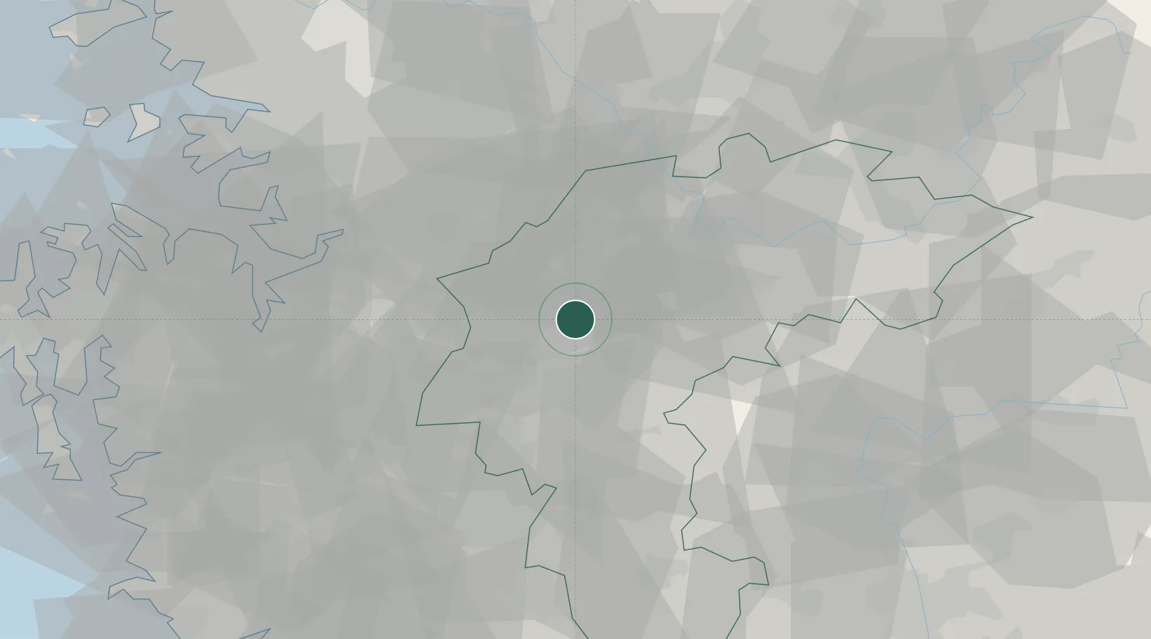
Location
Nearby Logistics Neighbours
Cities
- 1Geumsan-gun9 km
- 2Goesan-gun18 km
- 3Eumseong-gun19 km
- 4Cheongju19 km
- 5Osong31 km
Ports
- 1Pyeongtaek Hang74 km
- 2Daesan Hang108 km
- 3Inchon115 km
- 4Kunsan124 km
- 5Mukho161 km
Airports
Trade Zones
DatabookThe Record of Consolidated Knowledge
South Korea beyond logistics?