Industrial Complex · South Korea

Chungju General Industrial Complex Active
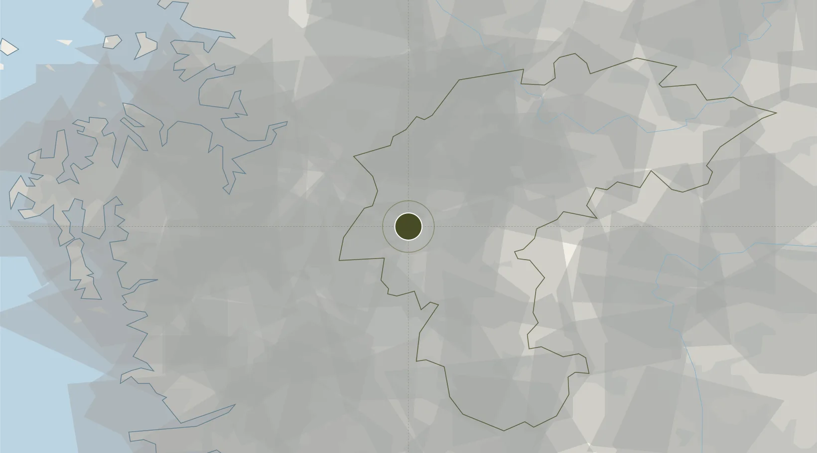
36.6479°, 127.4402°
743,300 ha
Zone area
69.1 km
Nearest port
9.2 km
Nearest airport

Gateway access

Nearest neighbours — logibook spatial index (haversine) over the source coordinates

Zone profile

Zone type
Industrial Complex
the World Bank SEZ database
Region
North Chungcheong
the World Bank SEZ database
Status
Active
the World Bank SEZ database
Established
1989
the World Bank SEZ database
Management
State-owned enterprise
the World Bank SEZ database
Operator
Cheongju Industrial Complex Corp
the World Bank SEZ database
Regulatory authority
National, provincial or city-level governments
the World Bank SEZ database
Legal framework
Industrial Sites and Development Act, and the Industrial Placement and Factory Act
the World Bank SEZ database

Location

Location of KOR23
Natural Earth 10m (public domain) · North Chungcheong · KOR23 · 36.65, 127.44GoogleOSMYandex

Fiscal & incentives

Corporate tax
22%
the World Bank SEZ database
Tax relief
100% exempt
the World Bank SEZ database
Relief duration
5 years
the World Bank SEZ database
VAT
No exemption
the World Bank SEZ database
Import duty (inputs)
0% exempt
the World Bank SEZ database
Import duty (capex)
100% exempt
the World Bank SEZ database
Profit repatriation
No exemption
the World Bank SEZ database
Capital gains
No exemption
the World Bank SEZ database
Withholding tax
No exemption
the World Bank SEZ database
Min. investment
$30M
the World Bank SEZ database
Min. export
0%
the World Bank SEZ database
Employment incentive
Employment and training subsidies available to companies that newly employ 20 more individuals
the World Bank SEZ database
Developer incentive
No established framework
the World Bank SEZ database

Nearby Logistics Neighbours

Ports
  1. 1Pyeongtaek Hang69 km
  2. 2Daesan Hang101 km
  3. 3Kunsan104 km
  4. 4Inchon117 km
  5. 5Mukho180 km
Nearest neighbours — logibook spatial index (haversine) over the source coordinates
Airports
  1. 1Cheongju International Airport/Cheongju Air Base (K-59/G-513)9 km
  2. 2Camp Humphreys (A-511) Desiderio Army Airfield51 km
  3. 3Jungwon Air Base/Chungju Airport58 km
  4. 4Osan Air Base61 km
  5. 5Suwon Airport76 km
Nearest neighbours — logibook spatial index (haversine) over the source coordinates
Cities
  1. 1Cheongju4 km
  2. 2Osong12 km
  3. 3Yeongi-gun14 km
  4. 4Chungju14 km
  5. 5Cheongwon-gun15 km
Nearest neighbours — logibook spatial index (haversine) over the source coordinates
Trade Zones
  1. 1Ochang Foreign Investment Zone6 km
  2. 2Cheongju Aeropolis10 km
  3. 3Osong Biovalley12 km
  4. 4Jochiwon General Industrial Complex19 km
  5. 5Sejong International Science and Business Belt19 km
Nearest neighbours — logibook spatial index (haversine) over the source coordinates
DatabookThe Record of Consolidated Knowledge
South Korea beyond logistics?
Browse databook

All Sources

Trade Zonesthe World Bank SEZ database
CC BY 4.0
Portsthe NGA World Port Index
Public domain (US gov)
AirportsOurAirports
Public domain
LocationsUN/LOCODE
UN/LOCODE — free
← South Korea trade zones