UN/LOCODE hub · South Korea
KRGSA

Geumsan-gun

36.7833°, 127.4833°
2
Transport functions

Transport Functions

Rail
Road
UN/LOCODE

Hub Profile

Region
44
GeoNames

Location

Location of KRGSA
Natural Earth 10m (public domain) · 44 · KRGSA · 36.78, 127.48GoogleOSMYandex

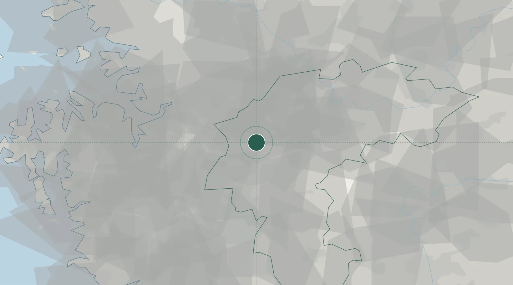
Nearby Logistics Neighbours

Cities
  1. 1Jeungpyeung9 km
  2. 2Cheongju17 km
  3. 3Eumseong-gun24 km
  4. 4Osong25 km
  5. 5Goesan-gun27 km
Nearest neighbours — logibook spatial index (haversine) over the source coordinates
Ports
  1. 1Pyeongtaek Hang65 km
  2. 2Daesan Hang100 km
  3. 3Inchon108 km
  4. 4Kunsan118 km
  5. 5Mukho169 km
Nearest neighbours — logibook spatial index (haversine) over the source coordinates
Airports
  1. 1Cheongju International Airport/Cheongju Air Base (K-59/G-513)8 km
  2. 2Camp Humphreys (A-511) Desiderio Army Airfield45 km
  3. 3Jungwon Air Base/Chungju Airport45 km
  4. 4Osan Air Base53 km
  5. 5Suwon Airport66 km
Nearest neighbours — logibook spatial index (haversine) over the source coordinates
Trade Zones
  1. 1Cheongju Aeropolis8 km
  2. 2Ochang Foreign Investment Zone11 km
  3. 3Chungju General Industrial Complex16 km
  4. 4Cheonan 5 Foreign Investment Zone21 km
  5. 5Jincheon Sansu Industrial Complex23 km
Nearest neighbours — logibook spatial index (haversine) over the source coordinates
DatabookThe Record of Consolidated Knowledge
South Korea beyond logistics?
Browse databook

All Sources

LocationsUN/LOCODE
UN/LOCODE — free
Portsthe NGA World Port Index
Public domain (US gov)
AirportsOurAirports
Public domain
Trade Zonesthe World Bank SEZ database
CC BY 4.0
Trade ZonesOpen Zone Map
CC BY
← South Korea locations