Transport Functions
Rail
Road
Hub Profile
Region
43
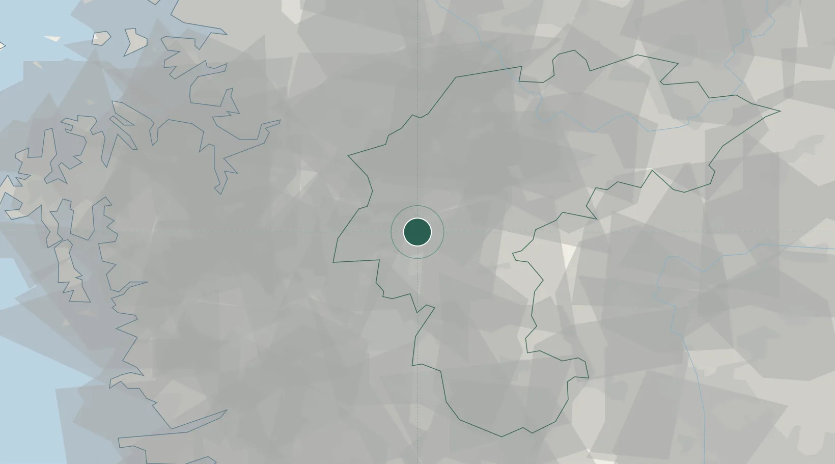
Location
Nearby Logistics Neighbours
Cities
- 1Yeongi-gun15 km
- 2Osong15 km
- 3Chungju15 km
- 4Cheongwon-gun16 km
- 5Geumsan-gun17 km
Ports
- 1Pyeongtaek Hang73 km
- 2Daesan Hang105 km
- 3Kunsan106 km
- 4Inchon120 km
- 5Mukho178 km
Airports
Trade Zones
DatabookThe Record of Consolidated Knowledge
South Korea beyond logistics?