Transport Functions
Rail
Road
Hub Profile
Region
43
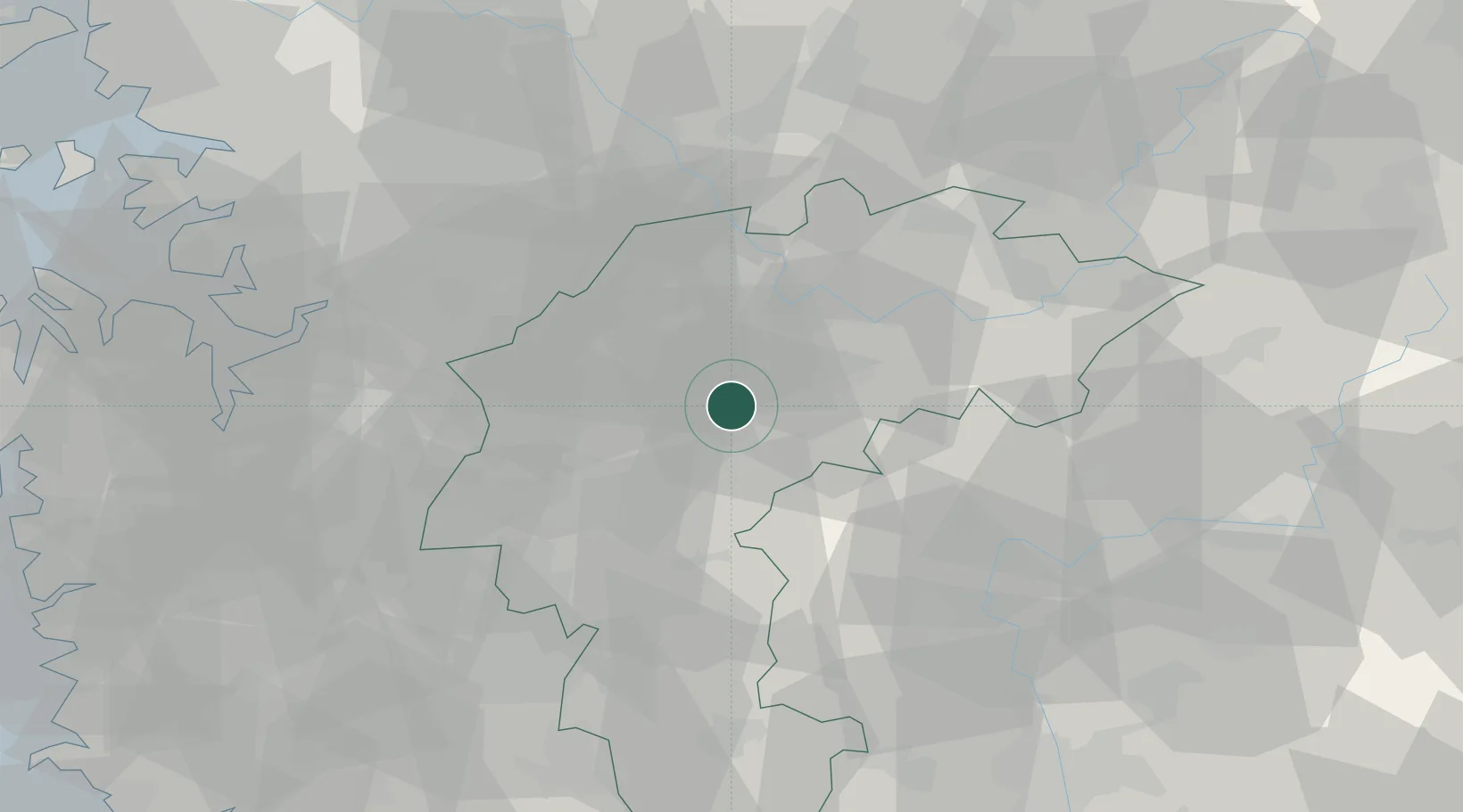
Location
Nearby Logistics Neighbours
Cities
- 1Jincheon-gun15 km
- 2Eumseong-gun17 km
- 3Jeungpyeung18 km
- 4Geumsan-gun27 km
- 5Cheongju33 km
Ports
- 1Pyeongtaek Hang90 km
- 2Daesan Hang125 km
- 3Inchon127 km
- 4Kunsan138 km
- 5Mukho146 km
Airports
Trade Zones
DatabookThe Record of Consolidated Knowledge
South Korea beyond logistics?