Transport Functions
Rail
Multimodal
Hub Profile
Place type
Populated place
Region
North Chungcheong
Time zone
Asia/Seoul
Elevation
20 m
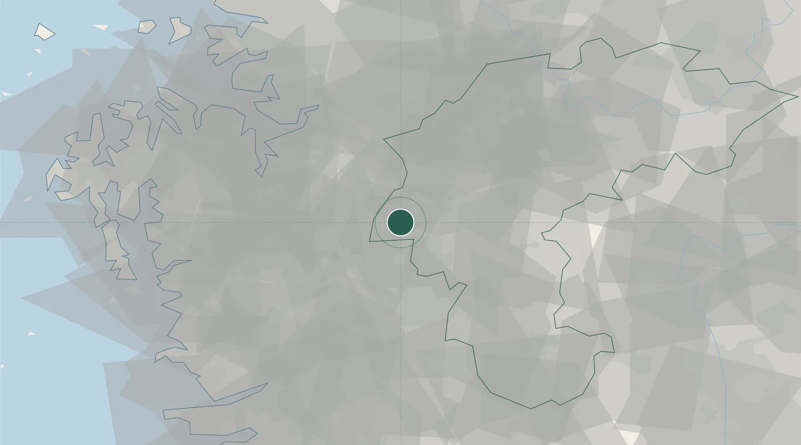
Location
Nearby Logistics Neighbours
Cities
- 1Chungju7 km
- 2Yeongi-gun7 km
- 3Cheongwon-gun9 km
- 4Chonui/Yeongi-gun13 km
- 5Cheongju15 km
Ports
- 1Pyeongtaek Hang64 km
- 2Kunsan93 km
- 3Daesan Hang94 km
- 4Inchon115 km
- 5Gwangyang Hang192 km
Airports
DatabookThe Record of Consolidated Knowledge
South Korea beyond logistics?