Transport Functions
Rail
Road
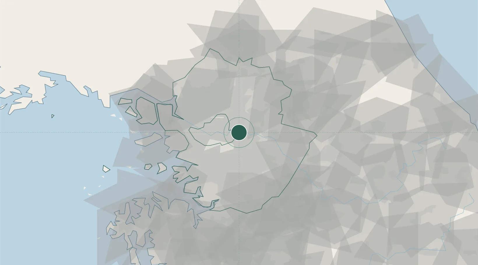
Hub Profile
Place type
Populated place
Region
Gyeonggi-do
Population
254,415
Time zone
Asia/Seoul
Elevation
33 m
Location
Nearby Logistics Neighbours
Cities
- 1Guri8 km
- 2Namyangju11 km
- 3Seongnam13 km
- 4Gwacheon23 km
- 5Sungnam (Seoul Ab)24 km
Ports
- 1Inchon52 km
- 2Pyeongtaek Hang69 km
- 3Daesan Hang91 km
- 4Haeju Hang142 km
- 5Sokch'o Hang144 km
Airports
- 1Seoul Air Base (K-16)13 km
- 2Gimpo International Airport36 km
- 3Suwon Airport37 km
- 4Osan Air Base51 km
- 5Camp Humphreys (A-511) Desiderio Army Airfield65 km
DatabookThe Record of Consolidated Knowledge
South Korea beyond logistics?