UN/LOCODE hub · South Korea
KRSGM

Seongnam

37.4333°, 127.1333°
2
Transport functions

Transport Functions

Road
Multimodal
UN/LOCODE

Hub Profile

Place type
Populated place
GeoNames
Region
North Chungcheong
GeoNames
Time zone
Asia/Seoul
GeoNames
Elevation
170 m
GeoNames

Location

Location of KRSGM
Natural Earth 10m (public domain) · North Chungcheong · KRSGM · 37.43, 127.13GoogleOSMYandex

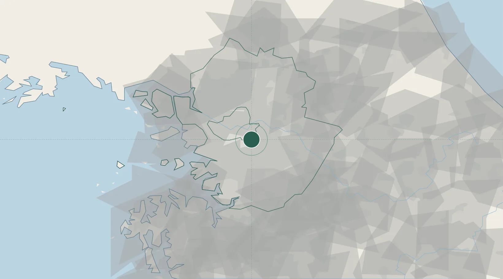
Nearby Logistics Neighbours

Cities
  1. 1Hanam13 km
  2. 2Gwacheon13 km
  3. 3Guri17 km
  4. 4Gunpo17 km
  5. 5Seoul18 km
Nearest neighbours — logibook spatial index (haversine) over the source coordinates
Ports
  1. 1Inchon46 km
  2. 2Pyeongtaek Hang57 km
  3. 3Daesan Hang80 km
  4. 4Haeju Hang141 km
  5. 5Sokch'o Hang155 km
Nearest neighbours — logibook spatial index (haversine) over the source coordinates
Airports
  1. 1Seoul Air Base (K-16)2 km
  2. 2Suwon Airport24 km
  3. 3Gimpo International Airport33 km
  4. 4Osan Air Base39 km
  5. 5Camp Humphreys (A-511) Desiderio Army Airfield53 km
Nearest neighbours — logibook spatial index (haversine) over the source coordinates
Trade Zones
  1. 1Seongnam General Industrial Complex4 km
  2. 2Pangyo Techno Valley4 km
  3. 3Godeok New International Industrial Complex15 km
  4. 4Seoul Digital National Industrial Complex23 km
  5. 5Hwaseong General Industrial Complex25 km
Nearest neighbours — logibook spatial index (haversine) over the source coordinates
DatabookThe Record of Consolidated Knowledge
South Korea beyond logistics?
Browse databook

All Sources

LocationsUN/LOCODE
UN/LOCODE — free
Portsthe NGA World Port Index
Public domain (US gov)
AirportsOurAirports
Public domain
Trade Zonesthe World Bank SEZ database
CC BY 4.0
Trade ZonesOpen Zone Map
CC BY
← South Korea locations