UN/LOCODE hub · South Korea
KRNYU
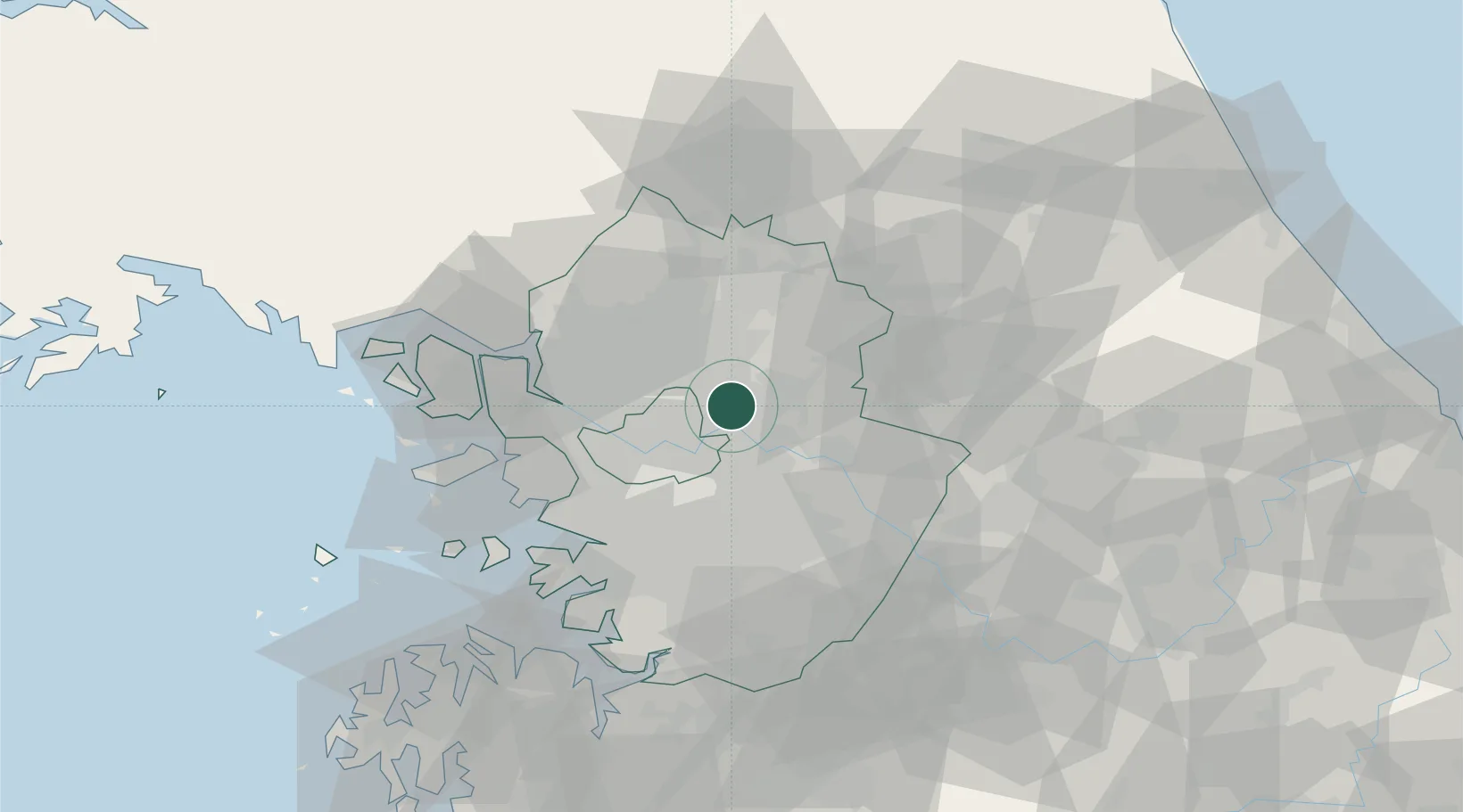
Namyangju
37.6333°, 127.2000°
90,798
Population
2
Transport functions
Transport Functions
Rail
Road
Hub Profile
Place type
Populated place
Region
Gyeonggi-do
Population
90,798
Time zone
Asia/Seoul
Elevation
63 m
Location
Nearby Logistics Neighbours
Ports
- 1Inchon55 km
- 2Pyeongtaek Hang79 km
- 3Daesan Hang99 km
- 4Haeju Hang138 km
- 5Sokch'o Hang138 km
Airports
- 1Seoul Air Base (K-16)22 km
- 2Gimpo International Airport37 km
- 3Suwon Airport47 km
- 4Osan Air Base62 km
- 5Incheon International Airport69 km
DatabookThe Record of Consolidated Knowledge
South Korea beyond logistics?