Transport Functions
Rail
Road
Hub Profile
Place type
Populated place
Region
Gyeonggi-do
Time zone
Asia/Seoul
Elevation
57 m
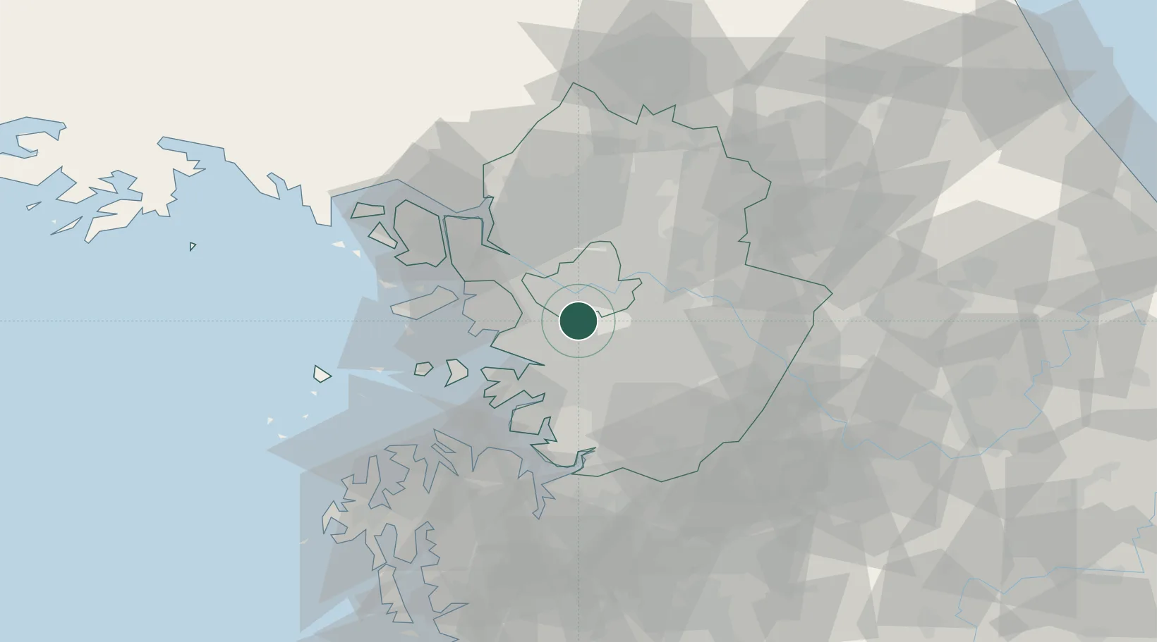
Location
Nearby Logistics Neighbours
Ports
- 1Inchon33 km
- 2Pyeongtaek Hang49 km
- 3Daesan Hang68 km
- 4Haeju Hang130 km
- 5Kunsan163 km
Airports
- 1Seoul Air Base (K-16)12 km
- 2Suwon Airport20 km
- 3Gimpo International Airport23 km
- 4Osan Air Base36 km
- 5Incheon International Airport47 km
Trade Zones
DatabookThe Record of Consolidated Knowledge
South Korea beyond logistics?