UN/LOCODE hub · South Korea
KRSEL
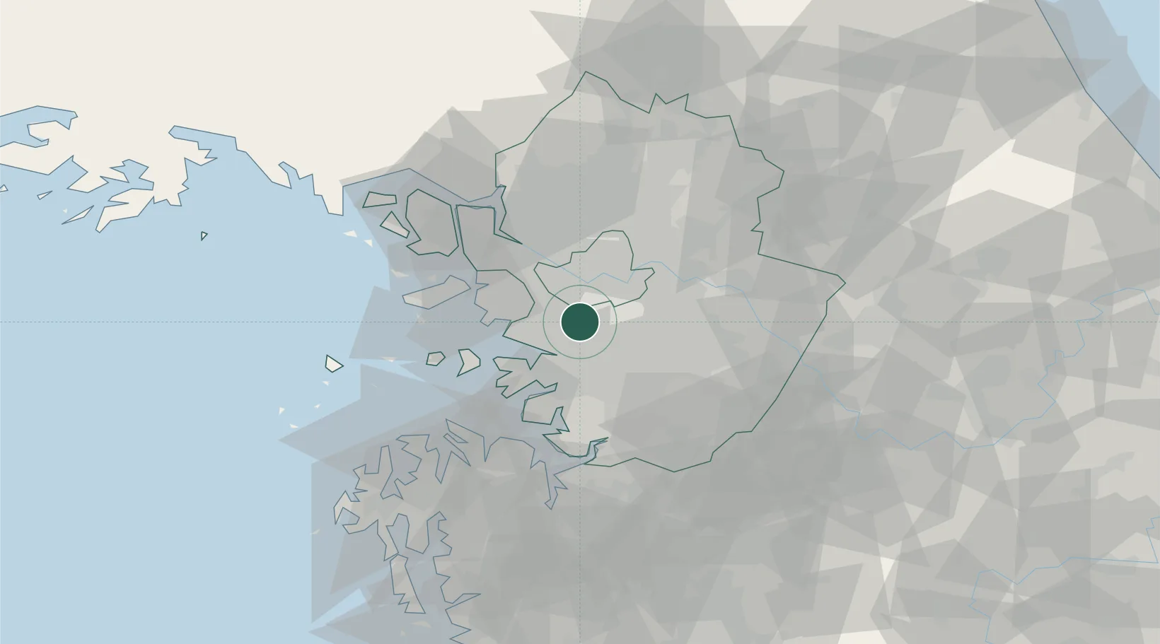
Seoul
37.3786°, 126.9470°
10,349,312
Population
5
Transport functions
Transport Functions
Port
Rail
Road
Airport
Postal
Hub Profile
Place type
National capital
Region
Seoul
Population
10,349,312
Time zone
Asia/Seoul
Elevation
38 m
Logistics facilities
23
Location
Nearby Logistics Neighbours
Ports
- 1Inchon31 km
- 2Pyeongtaek Hang44 km
- 3Daesan Hang63 km
- 4Haeju Hang130 km
- 5Kunsan158 km
Airports
- 1Suwon Airport16 km
- 2Seoul Air Base (K-16)16 km
- 3Gimpo International Airport24 km
- 4Osan Air Base33 km
- 5Incheon International Airport45 km
DatabookThe Record of Consolidated Knowledge
South Korea beyond logistics?