UN/LOCODE hub · Tanzania
TZZNZ
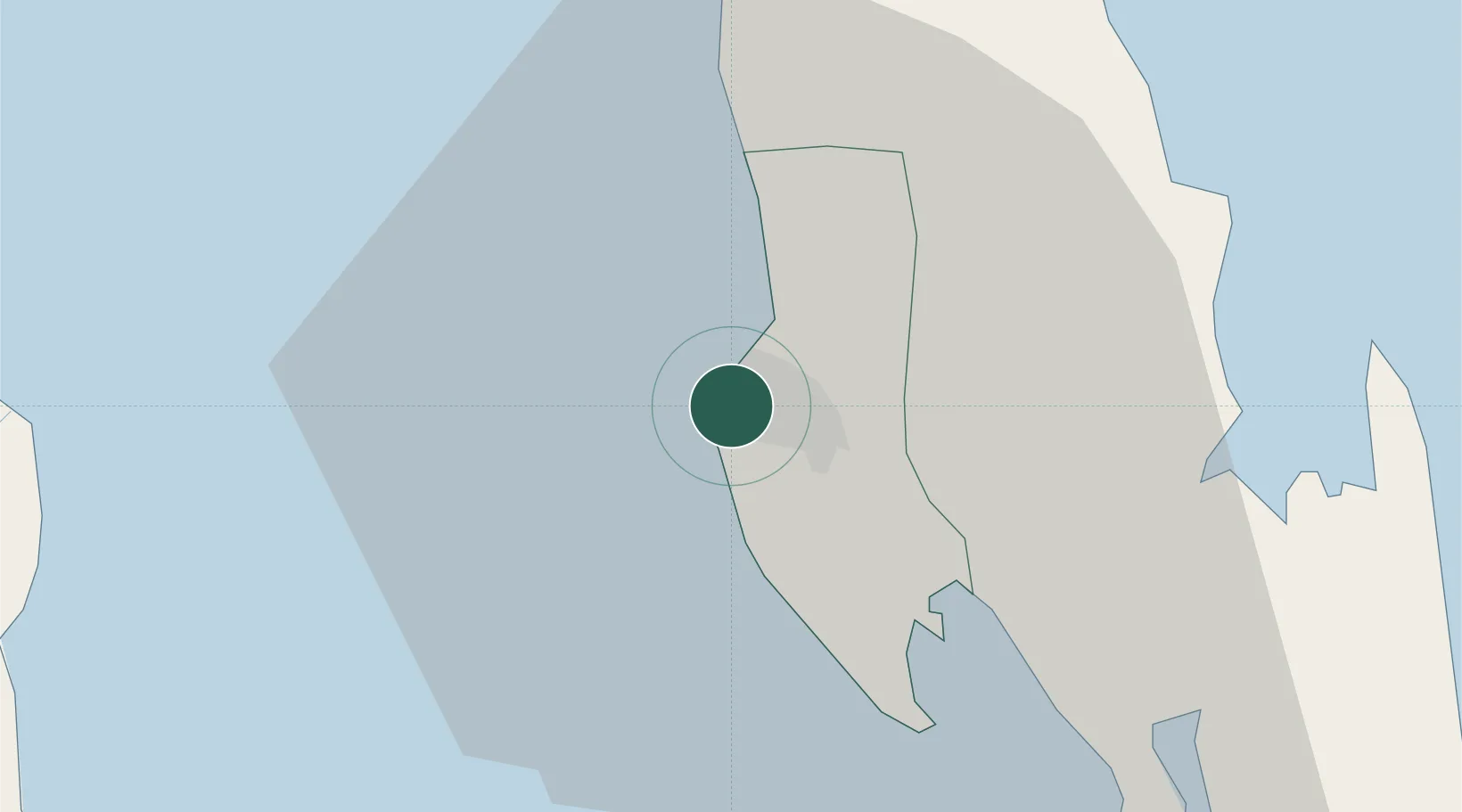
Zanzibar
-6.1556°, 39.1922°
709,809
Population
3
Transport functions
1
Container terminals
Transport Functions
Port
Airport
Postal
Hub Profile
Place type
Regional capital
Region
Zanzibar Urban/West
Population
709,809
Time zone
Africa/Dar_es_Salaam
Elevation
14 m
Logistics facilities
1
Container terminals
1
Location
Nearby Logistics Neighbours
Cities
- 1Kibaha75 km
- 2African Inland Container Depot76 km
- 3Dar es Salaam76 km
- 4Tanga122 km
- 5Shimoni169 km
Ports
- 1Dar Es Salaam75 km
- 2Tanga120 km
- 3Mombasa238 km
- 4Kilwa Kivinje288 km
- 5Kilifi290 km
Airports
- 1Abeid Amani Karume International Airport8 km
- 2Julius Nyerere International Airport80 km
- 3Tanga Airport119 km
- 4Pemba Airport121 km
- 5Mafia Airport203 km
Trade Zones
DatabookThe Record of Consolidated Knowledge
Tanzania beyond logistics?