Transport Functions
Road
Multimodal
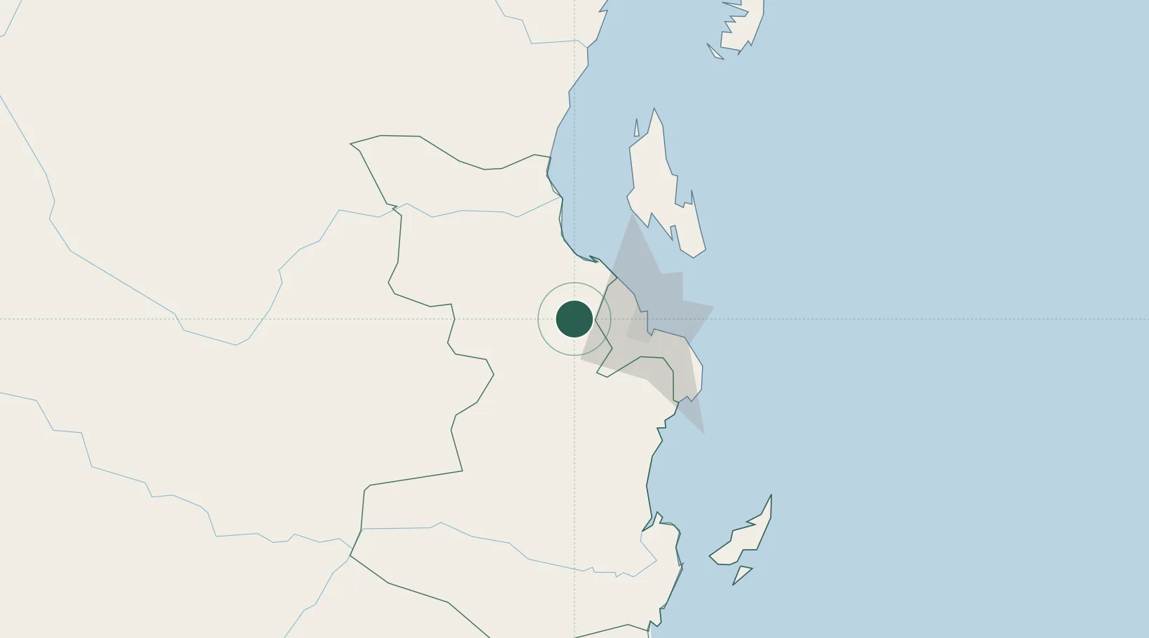
Hub Profile
Place type
Regional capital
Region
Pwani
Population
265,360
Time zone
Africa/Dar_es_Salaam
Elevation
154 m
Location
Nearby Logistics Neighbours
Cities
- 1African Inland Container Depot36 km
- 2Dar es Salaam38 km
- 3Zanzibar75 km
- 4Ikwiriri136 km
- 5Tanga190 km
Ports
- 1Dar Es Salaam43 km
- 2Zanzibar73 km
- 3Tanga189 km
- 4Kilwa Kivinje226 km
- 5Mombasa312 km
Airports
- 1Julius Nyerere International Airport34 km
- 2Abeid Amani Karume International Airport70 km
- 3Mafia Airport153 km
- 4Tanga Airport187 km
- 5Pemba Airport195 km
Trade Zones
DatabookThe Record of Consolidated Knowledge
Tanzania beyond logistics?