UN/LOCODE hub · Japan
JPKHT

Takahata, Yamagata

38.0000°, 140.1833°
1
Transport functions

Transport Functions

Multimodal
UN/LOCODE

Hub Profile

Region
06
GeoNames

Location

Location of JPKHT
Natural Earth 10m (public domain) · 06 · JPKHT · 38.00, 140.18GoogleOSMYandex

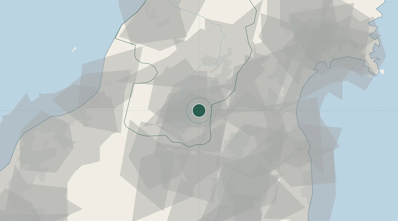
Nearby Logistics Neighbours

Cities
  1. 1Yonezawa11 km
  2. 2Sagae41 km
  3. 3Kitakata, Fukushima48 km
  4. 4Aizubange, Fukushima51 km
  5. 5Nihonmatsu51 km
Nearest neighbours — logibook spatial index (haversine) over the source coordinates
Ports
  1. 1Soma70 km
  2. 2Sendai-Shiogama82 km
  3. 3Eastern Part Of Niigata-Ko83 km
  4. 4Niigata Ko100 km
  5. 5Ishinomaki Ko109 km
Nearest neighbours — logibook spatial index (haversine) over the source coordinates
Airports
  1. 1Yamagata Airport49 km
  2. 2Sendai Airport66 km
  3. 3Fukushima Airport89 km
  4. 4Niigata Airport94 km
  5. 5Shonai Airport97 km
Nearest neighbours — logibook spatial index (haversine) over the source coordinates
DatabookThe Record of Consolidated Knowledge
Japan beyond logistics?
Browse databook

All Sources

LocationsUN/LOCODE
UN/LOCODE — free
Portsthe NGA World Port Index
Public domain (US gov)
AirportsOurAirports
Public domain
Trade Zonesthe World Bank SEZ database
CC BY 4.0
Trade ZonesOpen Zone Map
CC BY
← Japan locations