Transport Functions
Multimodal
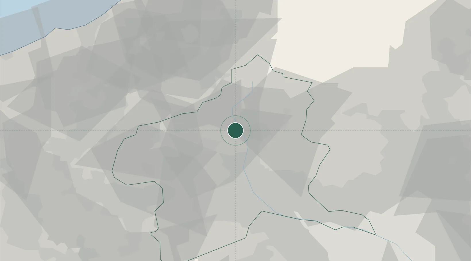
Hub Profile
Region
10
Location
Nearby Logistics Neighbours
Cities
- 1Kawaba11 km
- 2Shibukawa20 km
- 3Miyagi31 km
- 4Yuzawa, Niigata33 km
- 5Annaka40 km
Ports
- 1Kashiwazaki87 km
- 2Naoetsu Ko87 km
- 3Himekawa109 km
- 4Tokyo Ko131 km
- 5Niigata Ko139 km
Airports
- 1Utsunomiya Airport81 km
- 2Iruma Air Base99 km
- 3Yokota Air Base107 km
- 4Shinshu-Matsumoto Airport110 km
- 5Chofu Airport121 km
Trade Zones
- 1Gunma Environmentally Friendly Livestock Promotion Special Zone4 km
- 2Gunma Cancer Treatment Technology Regional Revitalization Comprehensive Special Zone27 km
- 3Nagaoka Independent Local Community Creation Special Zone93 km
- 4Saitama Next-Generation Automobile Smart Energy Special Zone104 km
- 5Kashiwanoha Campus Special Zone122 km
DatabookThe Record of Consolidated Knowledge
Japan beyond logistics?