Transport Functions
Multimodal
Hub Profile
Region
10
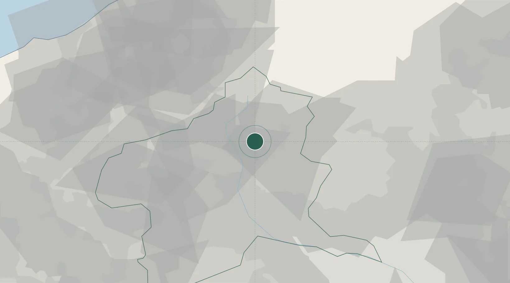
Location
Nearby Logistics Neighbours
Cities
- 1Minakami-Cho11 km
- 2Shibukawa26 km
- 3Miyagi30 km
- 4Yuzawa, Niigata36 km
- 5Kiryu39 km
Ports
- 1Kashiwazaki89 km
- 2Naoetsu Ko93 km
- 3Himekawa117 km
- 4Tokyo Ko129 km
- 5Niigata Ko135 km
Airports
- 1Utsunomiya Airport72 km
- 2Iruma Air Base99 km
- 3Yokota Air Base108 km
- 4Chofu Airport121 km
- 5Shinshu-Matsumoto Airport121 km
Trade Zones
- 1Gunma Environmentally Friendly Livestock Promotion Special Zone15 km
- 2Gunma Cancer Treatment Technology Regional Revitalization Comprehensive Special Zone30 km
- 3Nagaoka Independent Local Community Creation Special Zone94 km
- 4Saitama Next-Generation Automobile Smart Energy Special Zone101 km
- 5Kashiwanoha Campus Special Zone118 km
DatabookThe Record of Consolidated Knowledge
Japan beyond logistics?