Transport Functions
Multimodal
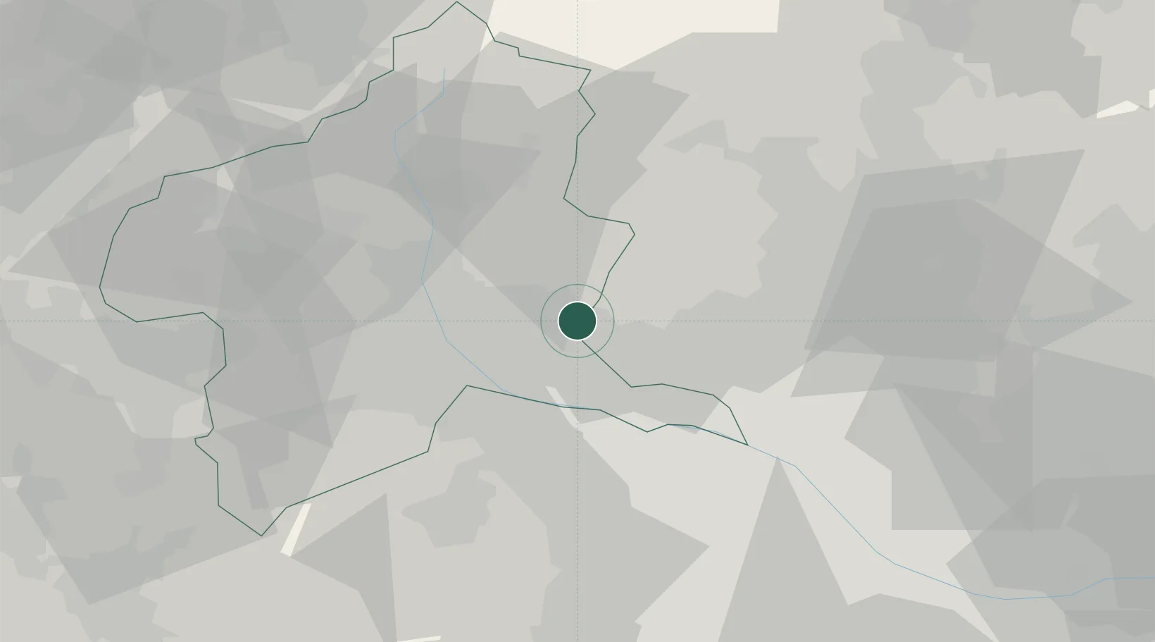
Hub Profile
Place type
Provincial seat
Region
Gunma
Population
108,991
Time zone
Asia/Tokyo
Elevation
108 m
Location
Nearby Logistics Neighbours
Cities
- 1Ota, Gunma9 km
- 2Isesaki15 km
- 3Miyagi15 km
- 4Tatebayashi23 km
- 5Honjyo26 km
Ports
- 1Tokyo Ko90 km
- 2Funabashi99 km
- 3Kawasaki Ko107 km
- 4Yokohama Ko108 km
- 5Chiba Ko112 km
Airports
- 1Utsunomiya Airport50 km
- 2Iruma Air Base62 km
- 3Yokota Air Base73 km
- 4Chofu Airport83 km
- 5JMSDF Shimofusa Air Base90 km
Trade Zones
- 1Gunma Cancer Treatment Technology Regional Revitalization Comprehensive Special Zone26 km
- 2Gunma Environmentally Friendly Livestock Promotion Special Zone46 km
- 3Saitama Next-Generation Automobile Smart Energy Special Zone62 km
- 4Kashiwanoha Campus Special Zone79 km
- 5Tsukuba International Strategic Comprehensive Special Zone90 km
DatabookThe Record of Consolidated Knowledge
Japan beyond logistics?