Transport Functions
Road
Multimodal
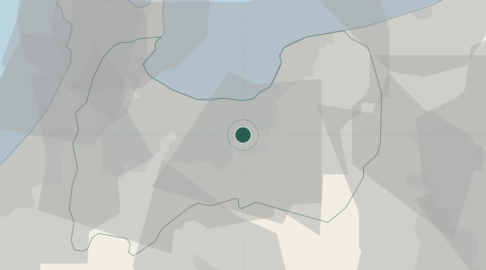
Hub Profile
Place type
Locality
Region
Saitama
Time zone
Asia/Tokyo
Elevation
14 m
Location
Nearby Logistics Neighbours
Cities
- 1Toyamashinko22 km
- 2Fushikitoyama23 km
- 3Toyama24 km
- 4Kurobe28 km
- 5Tonami31 km
Ports
- 1Fushiki-Toyama20 km
- 2Nanao Ko53 km
- 3Kanazawa63 km
- 4Himekawa65 km
- 5Naoetsu Ko103 km
Airports
- 1Toyama Kitokito Airport10 km
- 2Shinshu-Matsumoto Airport77 km
- 3Noto Satoyama Airport78 km
- 4Komatsu Airport / JASDF Komatsu Air Base85 km
- 5Fukui Airport112 km
Trade Zones
- 1Toyama Community-based Welfare Promotion Special Zone23 km
- 2Nagaoka Independent Local Community Creation Special Zone145 km
- 3Gunma Environmentally Friendly Livestock Promotion Special Zone146 km
- 4Minami-Alps Competitiveness and Sustainability Special Zone156 km
- 5Gunma Cancer Treatment Technology Regional Revitalization Comprehensive Special Zone158 km
DatabookThe Record of Consolidated Knowledge
Japan beyond logistics?