Transport Functions
Port
Multimodal
Hub Profile
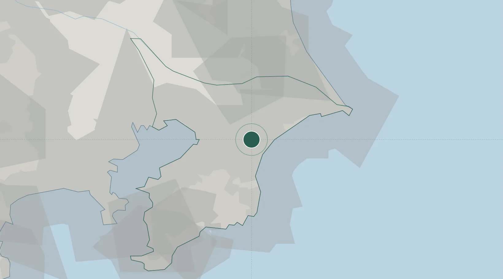
Place type
Provincial seat
Region
Chiba
Population
66,332
Time zone
Asia/Tokyo
Elevation
9 m
Location
Nearby Logistics Neighbours
Cities
- 1Futtsu, Chiba2 km
- 2Tomisato17 km
- 3Katori-Gun17 km
- 4Katori18 km
- 5Shisui Chiba19 km
Ports
- 1Chiba Ko27 km
- 2Funabashi39 km
- 3Choshi47 km
- 4Kisarazu Ko49 km
- 5Kashima Ko51 km
Airports
DatabookThe Record of Consolidated Knowledge
Japan beyond logistics?