UN/LOCODE hub · Japan
JPSHW

Shisui Chiba

35.7167°, 140.2667°
1
Transport functions

Transport Functions

Multimodal
UN/LOCODE

Hub Profile

Region
12
GeoNames

Location

Location of JPSHW
Natural Earth 10m (public domain) · 12 · JPSHW · 35.72, 140.27GoogleOSMYandex

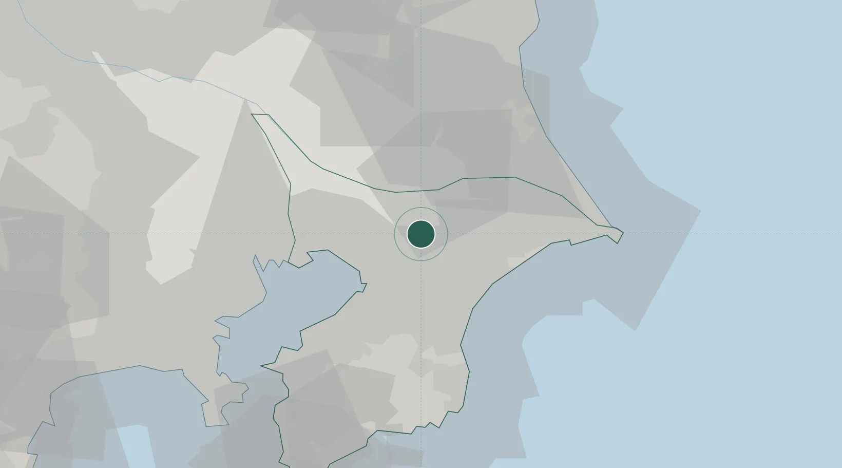
Nearby Logistics Neighbours

Cities
  1. 1Tomisato6 km
  2. 2Narita, Chiba9 km
  3. 3Yotsukaido, Chiba12 km
  4. 4Katori-Gun14 km
  5. 5Yachiyo15 km
Nearest neighbours — logibook spatial index (haversine) over the source coordinates
Ports
  1. 1Chiba Ko23 km
  2. 2Funabashi29 km
  3. 3Kashima Ko46 km
  4. 4Tokyo Ko47 km
  5. 5Kawasaki Ko51 km
Nearest neighbours — logibook spatial index (haversine) over the source coordinates
Airports
  1. 1Narita International Airport12 km
  2. 2JMSDF Shimofusa Air Base25 km
  3. 3Tokyo Haneda International Airport47 km
  4. 4JGSDF Kisarazu Airfield48 km
  5. 5Ibaraki International Airport53 km
Nearest neighbours — logibook spatial index (haversine) over the source coordinates
DatabookThe Record of Consolidated Knowledge
Japan beyond logistics?
Browse databook

All Sources

LocationsUN/LOCODE
UN/LOCODE — free
Portsthe NGA World Port Index
Public domain (US gov)
AirportsOurAirports
Public domain
Trade Zonesthe World Bank SEZ database
CC BY 4.0
Trade ZonesOpen Zone Map
CC BY
← Japan locations