Transport Functions
Multimodal
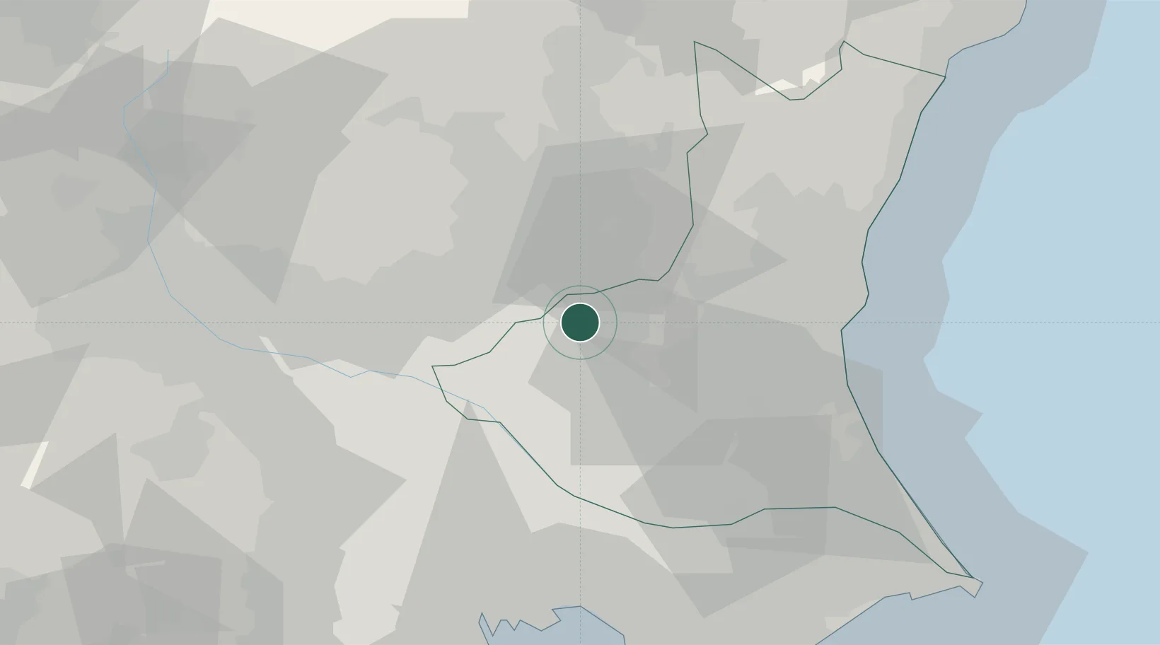
Hub Profile
Place type
Provincial seat
Region
Ibaraki
Population
100,753
Time zone
Asia/Tokyo
Elevation
33 m
Location
Nearby Logistics Neighbours
Cities
- 1Mashiko21 km
- 2Bando, Ibaraki24 km
- 3Kasama24 km
- 4Chiyoda27 km
- 5Sakai, Ibaragi28 km
Ports
- 1Hitachi62 km
- 2Funabashi71 km
- 3Tokyo Ko74 km
- 4Kashima Ko76 km
- 5Chiba Ko80 km
Airports
- 1Utsunomiya Airport26 km
- 2Ibaraki International Airport41 km
- 3JMSDF Shimofusa Air Base56 km
- 4Narita International Airport69 km
- 5Iruma Air Base72 km
DatabookThe Record of Consolidated Knowledge
Japan beyond logistics?