Transport Functions
Road
Multimodal
Hub Profile
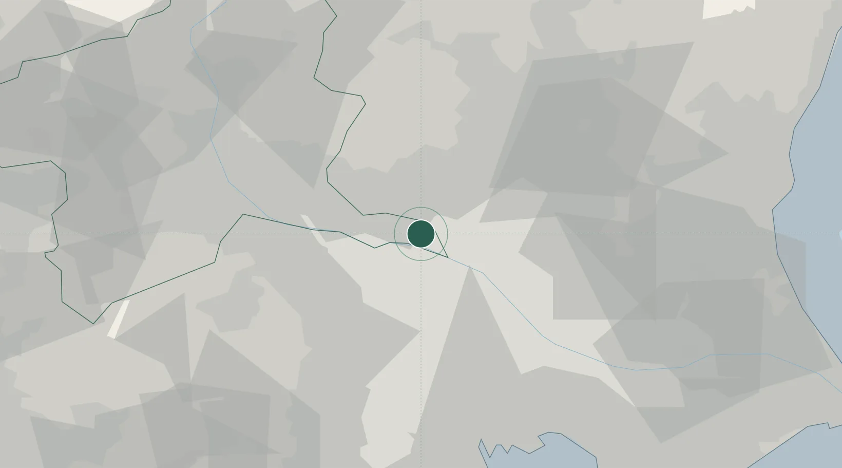
Place type
Populated place
Region
Gunma
Population
14,083
Time zone
Asia/Tokyo
Elevation
15 m
Location
Nearby Logistics Neighbours
Cities
- 1Tatebayashi11 km
- 2Washimiya14 km
- 3Kuki18 km
- 4Sakai, Ibaragi22 km
- 5Shiraoka23 km
Ports
- 1Tokyo Ko63 km
- 2Funabashi69 km
- 3Kawasaki Ko81 km
- 4Chiba Ko82 km
- 5Yokohama Ko85 km
Airports
- 1Utsunomiya Airport41 km
- 2Iruma Air Base45 km
- 3Yokota Air Base57 km
- 4JMSDF Shimofusa Air Base59 km
- 5Chofu Airport61 km
Trade Zones
- 1Saitama Next-Generation Automobile Smart Energy Special Zone35 km
- 2Kashiwanoha Campus Special Zone48 km
- 3Gunma Cancer Treatment Technology Regional Revitalization Comprehensive Special Zone55 km
- 4Tsukuba International Strategic Comprehensive Special Zone60 km
- 5Tokyo Area National Strategic Special Zone64 km
DatabookThe Record of Consolidated Knowledge
Japan beyond logistics?