Transport Functions
Rail
Road
Hub Profile
Place type
Populated place
Region
Chiba
Time zone
Asia/Tokyo
Elevation
25 m
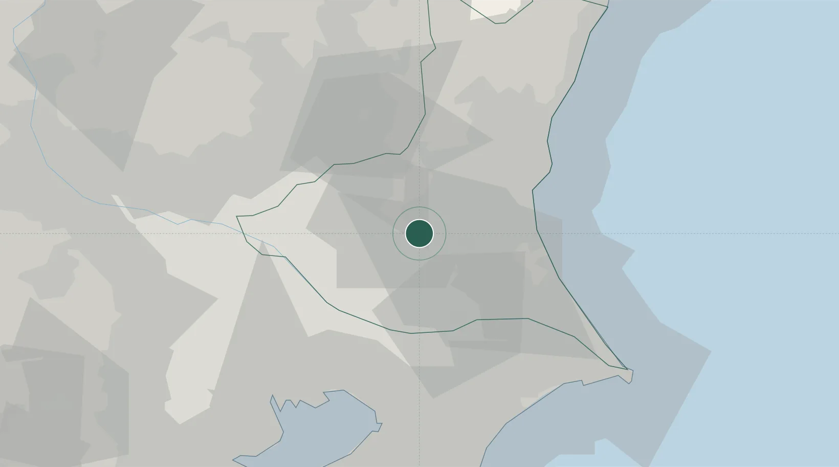
Location
Nearby Logistics Neighbours
Cities
- 1Ishioka6 km
- 2Kasumigaura13 km
- 3Omitama15 km
- 4Kasama26 km
- 5Chikusei27 km
Ports
- 1Kashima Ko50 km
- 2Hitachi54 km
- 3Funabashi59 km
- 4Chiba Ko64 km
- 5Tokyo Ko68 km
Airports
DatabookThe Record of Consolidated Knowledge
Japan beyond logistics?