UN/LOCODE hub · Japan
JPSII

Sakai, Ibaragi

36.1000°, 139.8000°
1
Transport functions

Transport Functions

Multimodal
UN/LOCODE

Hub Profile

Region
08
GeoNames

Location

Location of JPSII
Natural Earth 10m (public domain) · 08 · JPSII · 36.10, 139.80GoogleOSMYandex

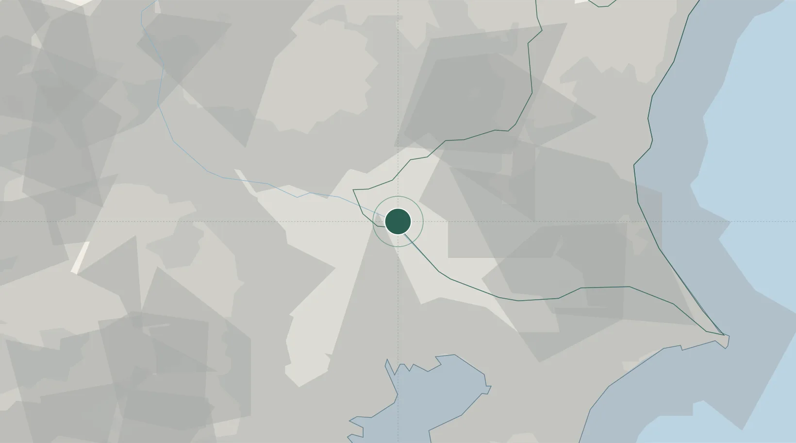
Nearby Logistics Neighbours

Cities
  1. 1Bando, Ibaraki8 km
  2. 2Inagi12 km
  3. 3Washimiya12 km
  4. 4Kuki13 km
  5. 5Shiraoka15 km
Nearest neighbours — logibook spatial index (haversine) over the source coordinates
Ports
  1. 1Tokyo Ko48 km
  2. 2Funabashi50 km
  3. 3Chiba Ko62 km
  4. 4Kawasaki Ko67 km
  5. 5Yokohama Ko75 km
Nearest neighbours — logibook spatial index (haversine) over the source coordinates
Airports
  1. 1JMSDF Shimofusa Air Base39 km
  2. 2Iruma Air Base45 km
  3. 3Utsunomiya Airport47 km
  4. 4Chofu Airport54 km
  5. 5Ibaraki International Airport56 km
Nearest neighbours — logibook spatial index (haversine) over the source coordinates
DatabookThe Record of Consolidated Knowledge
Japan beyond logistics?
Browse databook

All Sources

LocationsUN/LOCODE
UN/LOCODE — free
Portsthe NGA World Port Index
Public domain (US gov)
AirportsOurAirports
Public domain
Trade Zonesthe World Bank SEZ database
CC BY 4.0
Trade ZonesOpen Zone Map
CC BY
← Japan locations