UN/LOCODE hub · Japan
JPBAN

Bando, Ibaraki

36.1031°, 139.8862°
2
Transport functions

Transport Functions

Road
Multimodal
UN/LOCODE

Hub Profile

Region
08
GeoNames
Logistics facilities
4
UN/LOCODE

Location

Location of JPBAN
Natural Earth 10m (public domain) · 08 · JPBAN · 36.10, 139.89GoogleOSMYandex

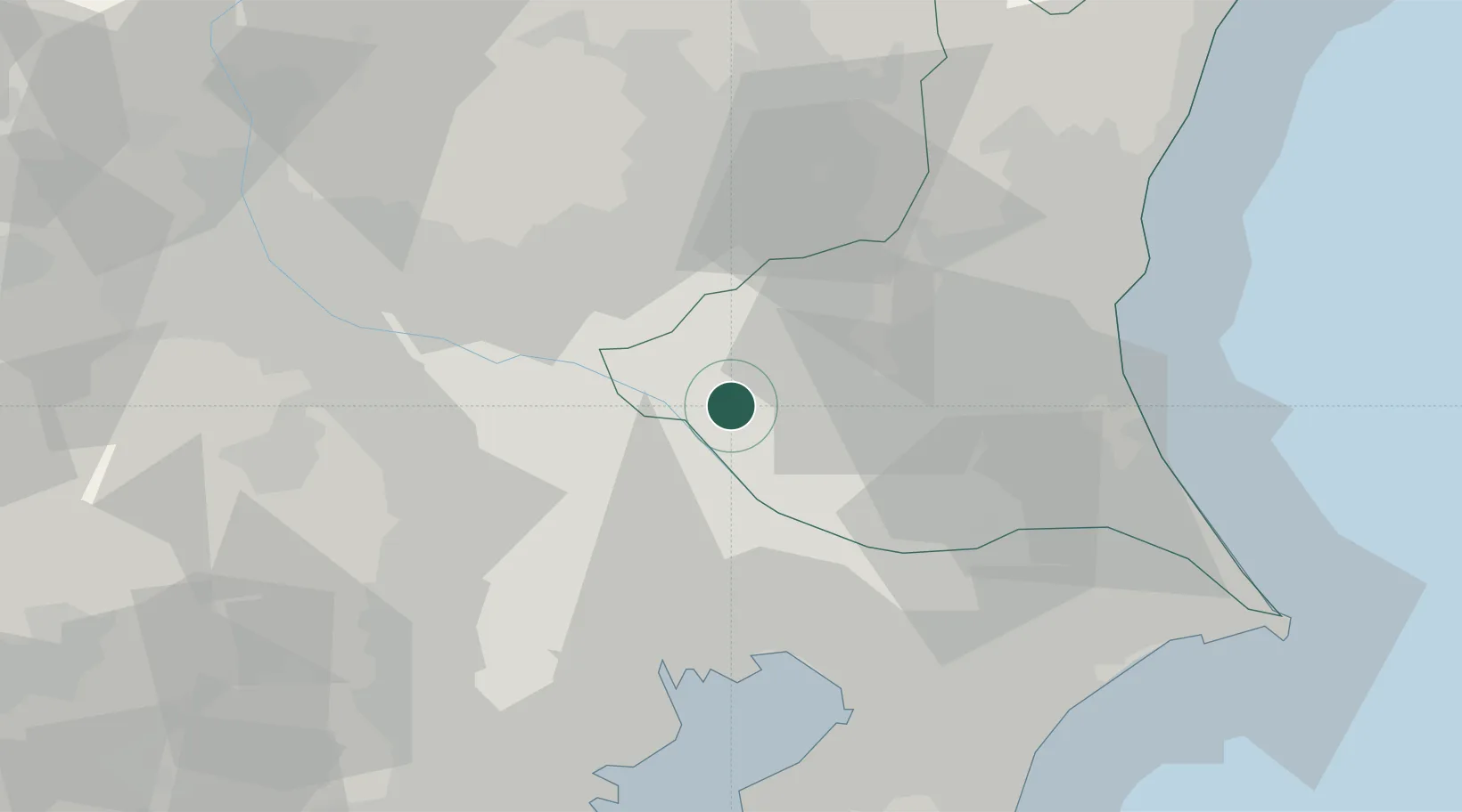
Nearby Logistics Neighbours

Cities
  1. 1Inagi7 km
  2. 2Sakai, Ibaragi8 km
  3. 3Noda17 km
  4. 4Washimiya20 km
  5. 5Kuki20 km
Nearest neighbours — logibook spatial index (haversine) over the source coordinates
Ports
  1. 1Funabashi49 km
  2. 2Tokyo Ko50 km
  3. 3Chiba Ko60 km
  4. 4Kawasaki Ko68 km
  5. 5Kashima Ko76 km
Nearest neighbours — logibook spatial index (haversine) over the source coordinates
Airports
  1. 1JMSDF Shimofusa Air Base36 km
  2. 2Utsunomiya Airport46 km
  3. 3Ibaraki International Airport48 km
  4. 4Iruma Air Base52 km
  5. 5Chofu Airport58 km
Nearest neighbours — logibook spatial index (haversine) over the source coordinates
DatabookThe Record of Consolidated Knowledge
Japan beyond logistics?
Browse databook

All Sources

LocationsUN/LOCODE
UN/LOCODE — free
Portsthe NGA World Port Index
Public domain (US gov)
AirportsOurAirports
Public domain
Trade Zonesthe World Bank SEZ database
CC BY 4.0
Trade ZonesOpen Zone Map
CC BY
← Japan locations