UN/LOCODE hub · Japan
JPUBJ
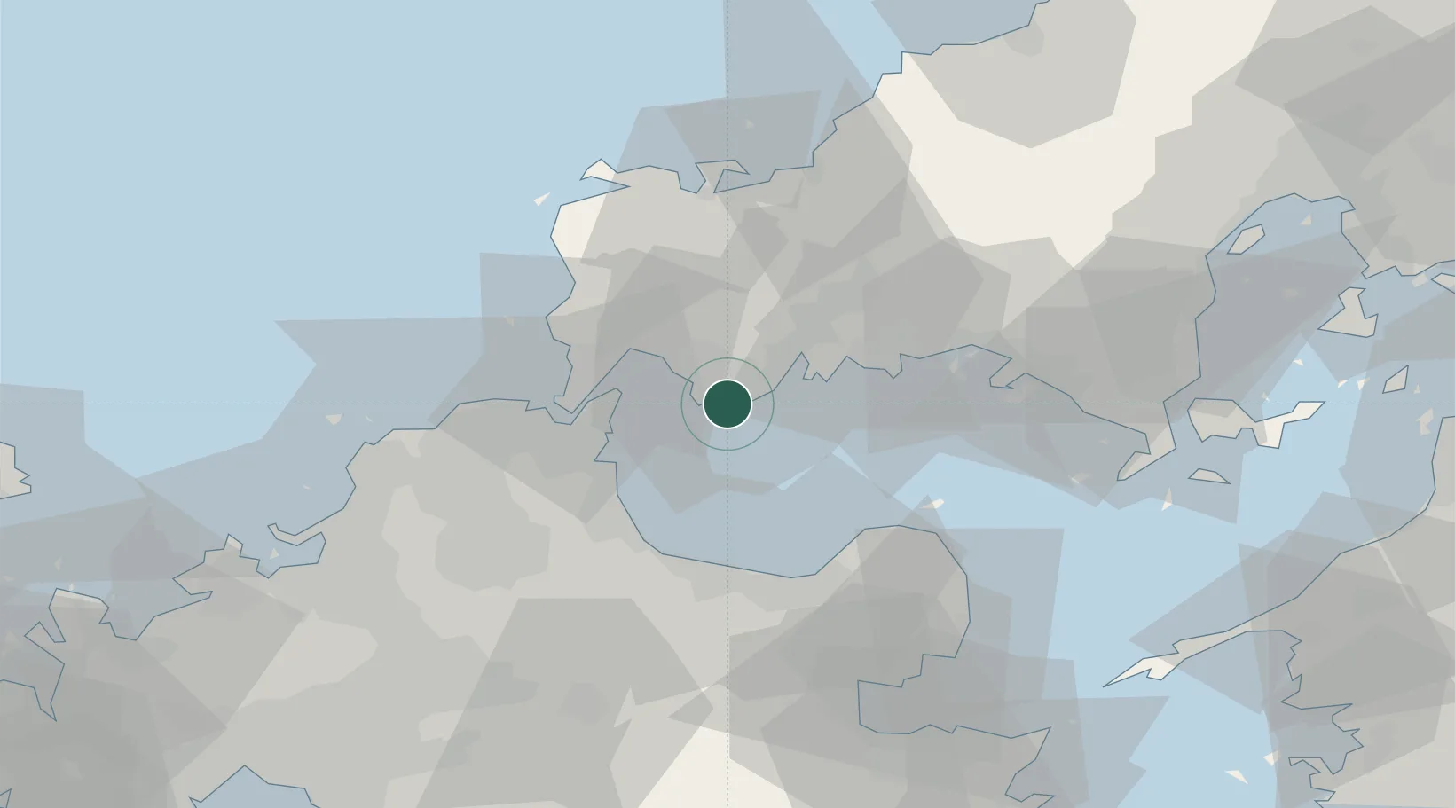
Ube
33.9333°, 131.2371°
173,733
Population
2
Transport functions
1
Container terminals
Transport Functions
Port
Airport
Hub Profile
Place type
Provincial seat
Region
Yamaguchi
Population
173,733
Time zone
Asia/Tokyo
Elevation
6 m
Logistics facilities
2
Container terminals
1
Location
Nearby Logistics Neighbours
Cities
- 1Sanyo Onoda Yamaguchi17 km
- 2Moji/Kitakyushu24 km
- 3Shinmoji25 km
- 4Kanmon30 km
- 5Nakanoseki30 km
Ports
- 1Onoda9 km
- 2Moji Ko25 km
- 3Kanda26 km
- 4Shimonoseki28 km
- 5Kokura Ko33 km
Airports
- 1Yamaguchi Ube Airport4 km
- 2Kitakyushu Airport21 km
- 3JASDF Hofu Airfield31 km
- 4JASDF Tsuiki Air Base33 km
- 5JASDF Ashiya Air Base54 km
Trade Zones
- 1Yamaguchi Next-Generation Agricultural Production Structure Establishment Special Zone65 km
- 2Higashi Kyushu Medical Valley Concept Special Zone82 km
- 3Green Asia International Strategic Comprehensive Special Zone84 km
- 4Kyushu Asia Tourism Island Comprehensive Special Zone86 km
- 5Fukuoka City Strategic Special Zone87 km
DatabookThe Record of Consolidated Knowledge
Japan beyond logistics?