Medium airport · Iran
Dezful AirportOIAD
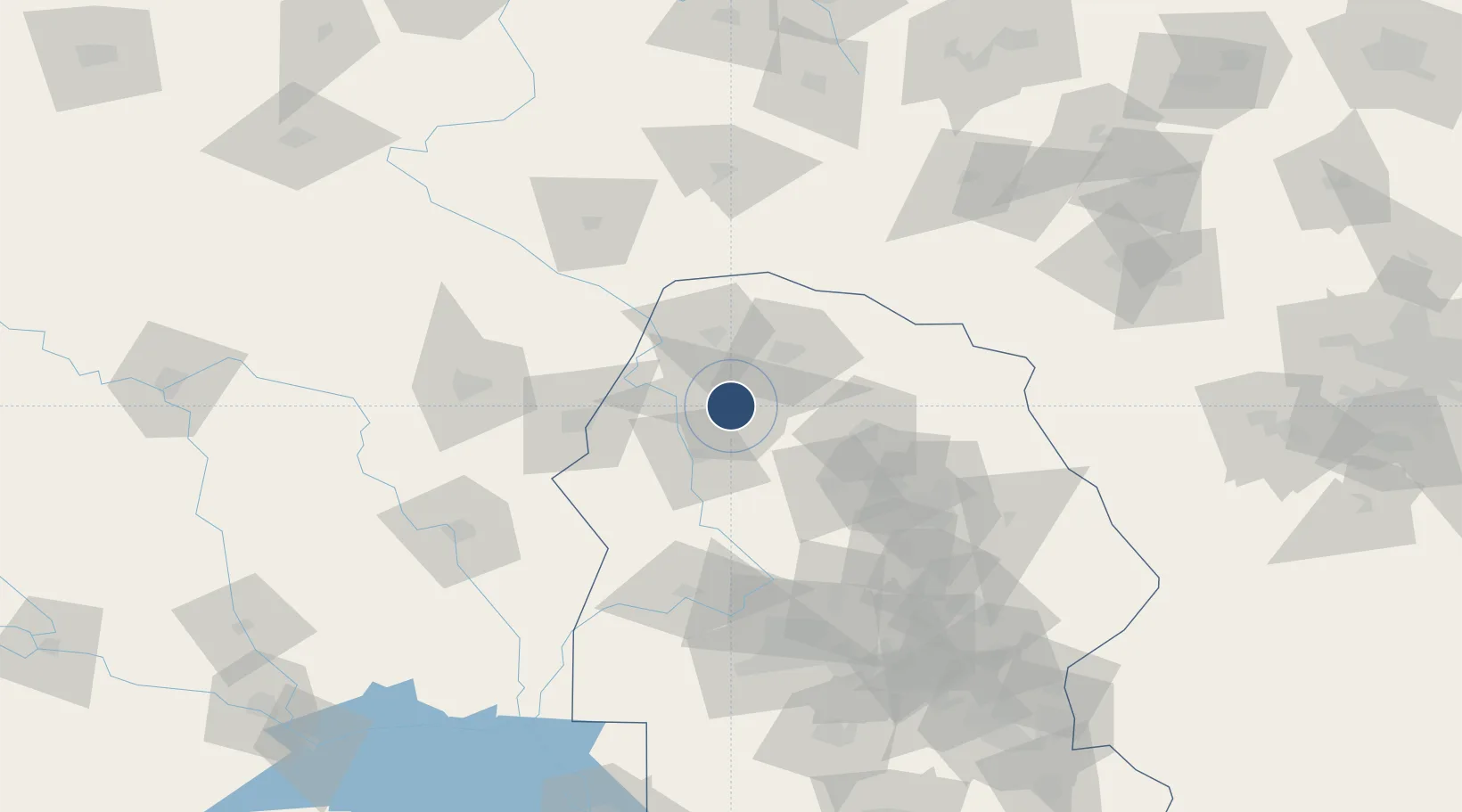
32.4344°, 48.3976°
12,641 ft
Longest runway
2
Runways
474 ft
Elevation
Runway & Layout

Radio Frequencies
TWR
122.3 MHz
APP
34.4 MHz
APP
123.6 MHz
Navaids
DZF TACAN Dezful 112.50 MHz
DZF NDB Dezful 293 kHz
Runways · 2
| Runway | Dimensions | Surface | True heading | Lit |
|---|---|---|---|---|
| 14R/32L | 12,641 × 115ft | Asphalt | 141° | ✓ |
| 14L/32R | 11,729 × 148ft | Asphalt | 141° | ✓ |
Airport Specifications
IATA code
DEF
ICAO code
OIAD
Airport class
Medium airport
Scheduled service
Yes
Runway surface
Asphalt
Served city
Dezful
Location
Nearby Logistics Neighbours
Airports
- 1Shahid Asiyaee Airport95 km
- 2Khoram Abad Airport112 km
- 3Qasem Soleimani International Airport127 km
- 4Qalat Salih Air Base151 km
- 5Kut Al Hayy East Air Base193 km
Cities
- 1Baneh206 km
- 2Bandar Mashur222 km
- 3Bandar-e Måh Shahr224 km
- 4Mafraq Ash Shuaybah230 km
- 5Bandar-e Emam Khomeyni232 km
Ports
- 1Al Basrah220 km
- 2Khorramshahr223 km
- 3Bandar-E Mahshahr231 km
- 4Bandar Khomeyni232 km
- 5Abadan234 km
Trade Zones
DatabookThe Record of Consolidated Knowledge
Iran beyond logistics?