Medium airport · Iran

Khoram Abad AirportOICK
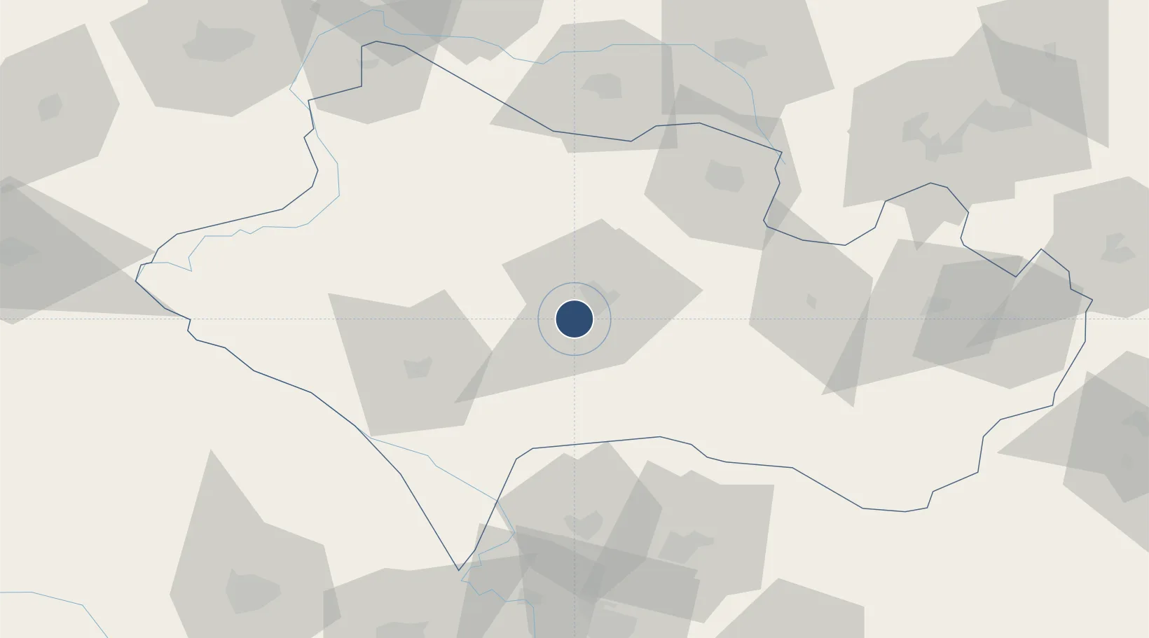
33.4354°, 48.2829°
10,498 ft
Longest runway
1
Runways
3,782 ft
Elevation

Runway & Layout

Khoram Abad Airport runway & taxiway layout
Runway & taxiway layout — OpenStreetMap (ODbL) / OurAirports

Radio Frequencies

AFIS
118.35 MHz
INFO
OurAirports

Navaids

KRD VOR-DME Khoram Abad 116.40 MHz
KRD NDB Khoram Abad 350 kHz
OurAirports

Runways · 1

RunwayDimensions SurfaceTrue headingLit
11/29 10,498 × 148ft Asphalt 113°
OurAirports

Airport Specifications

IATA code
KHD
OurAirports
ICAO code
OICK
OurAirports
Airport class
Medium airport
OurAirports
Scheduled service
Yes
OurAirports
Runway surface
Asphalt
OurAirports

Location

Location of OICK
Natural Earth 10m (public domain) · Lorestan · OICK · 33.44, 48.28GoogleOSMYandex

Nearby Logistics Neighbours

Airports
  1. 1Dezful Airport112 km
  2. 2Shahid Ashrafi Esfahani Airport145 km
  3. 3Hamadan Airport161 km
  4. 4Ilam Airport175 km
  5. 5Shahid Asiyaee Airport184 km
Nearest neighbours — logibook spatial index (haversine) over the source coordinates
Cities
  1. 1Baneh127 km
  2. 2Kermanshah (Bakhtaran)149 km
  3. 3Malekan291 km
  4. 4Wasit309 km
  5. 5Abhar312 km
Nearest neighbours — logibook spatial index (haversine) over the source coordinates
Ports
  1. 1Al Basrah327 km
  2. 2Khorramshahr334 km
  3. 3Bandar-E Mahshahr341 km
  4. 4Bandar Khomeyni342 km
  5. 5Abadan345 km
Nearest neighbours — logibook spatial index (haversine) over the source coordinates
Trade Zones
  1. 1Lorestan Special Economic Zone57 km
  2. 2Jahan Abad Special Economic Zone191 km
  3. 3Salafchegan Special Economic Zone230 km
  4. 4Shahrekord ShahrKord Special Economic Zone264 km
  5. 5Kaveh Special Economic Zone268 km
Nearest neighbours — logibook spatial index (haversine) over the source coordinates
DatabookThe Record of Consolidated Knowledge
Iran beyond logistics?
Browse databook

All Sources

AirportsOurAirports
Public domain
Portsthe NGA World Port Index
Public domain (US gov)
LocationsUN/LOCODE
UN/LOCODE — free
Trade Zonesthe World Bank SEZ database
CC BY 4.0
Trade ZonesOpen Zone Map
CC BY
InfrastructureOpenStreetMap
ODbL 1.0
← Iran airports