Medium airport · Iran
Kashan AirportOIFK
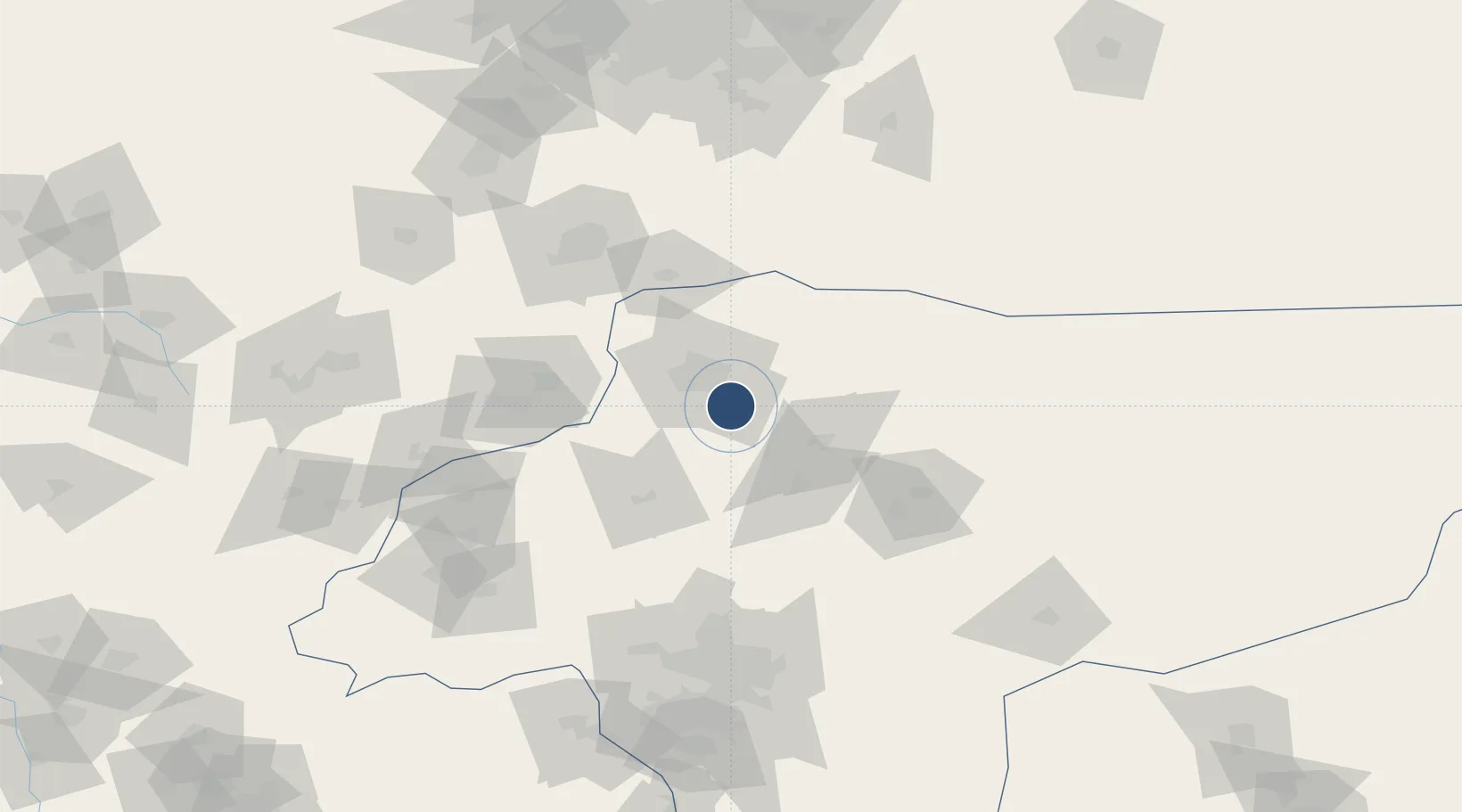
33.8953°, 51.5770°
8,845 ft
Longest runway
1
Runways
3,465 ft
Elevation
Runway & Layout

Radio Frequencies
TWR
118.175 MHz
Runways · 1
| Runway | Dimensions | Surface | True heading | Lit |
|---|---|---|---|---|
| 11/29 | 8,845 × 145ft | Asphalt | 111° | — |
Airport Specifications
IATA code
KKS
ICAO code
OIFK
Airport class
Medium airport
Scheduled service
Yes
Runway surface
Asphalt
Served city
Kashan
Location
Nearby Logistics Neighbours
Airports
Cities
- 1Malekan91 km
- 2Baneh200 km
- 3Ali Shah Avaz201 km
- 4Amir Abad Pt254 km
- 5Freidoon Kenar324 km
Ports
- 1Bandar-E Mahshahr443 km
- 2Bandar Khomeyni451 km
- 3Khorramshahr500 km
- 4Abadan503 km
- 5Al Basrah515 km
Trade Zones
DatabookThe Record of Consolidated Knowledge
Iran beyond logistics?