Transport Functions
Rail
Road
Multimodal
Hub Profile
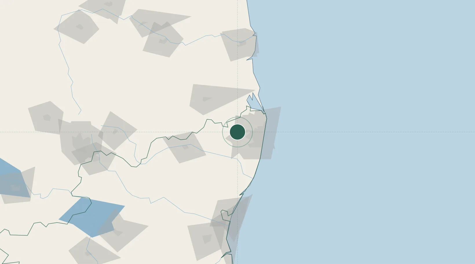
Place type
Populated place
Region
Tamil Nadu
Population
56,074
Time zone
Asia/Kolkata
Elevation
46 m
Location
Nearby Logistics Neighbours
Cities
- 1LTSL SEZ/Tiruvallur0 km
- 2Irungattukottai18 km
- 3Irungattukottai-Ilp-ICD20 km
- 4Ftil-SEZ/Sriperumbudur21 km
- 5JGHIPL SEZ/Sriperumbudur21 km
Ports
- 1Chennai (Madras)42 km
- 2Kamarajar Port48 km
- 3Kattupalli Port125 km
- 4Pondicherry136 km
- 5Cuddalore160 km
Airports
Trade Zones
DatabookThe Record of Consolidated Knowledge
India beyond logistics?