Specialized Zone · India

DLF Info City Active
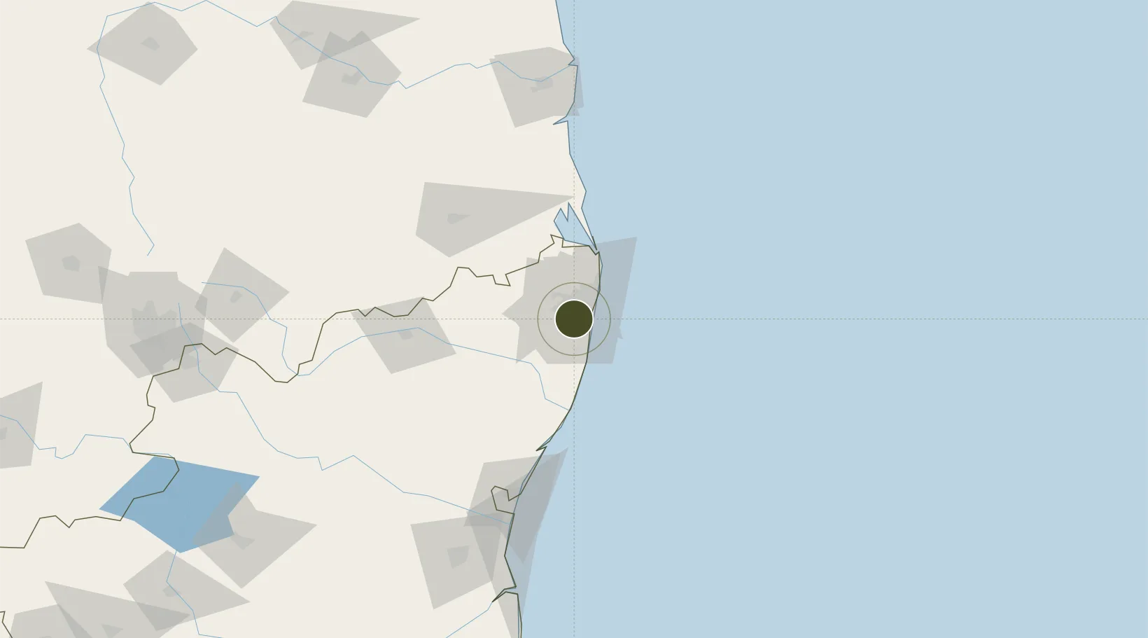
13.0214°, 80.1755°
1,214 ha
Zone area
16.1 km
Nearest port
3.6 km
Nearest airport

Gateway access

Nearest neighbours — logibook spatial index (haversine) over the source coordinates

Zone profile

Zone type
Specialized Zone
Open Zone Map
Specialization
IT
Open Zone Map
Region
Tamil Nadu
Open Zone Map
Status
Active
Open Zone Map
Management
Public-Private Partnership
Open Zone Map
Operator
DLF Info City Developers Limited
Open Zone Map
Legal framework
LoA 23(11)/VSEZ/2007 dated 19/06/2007
Open Zone Map

Location

Location of ozm-2273
Natural Earth 10m (public domain) · Tamil Nadu · ozm-2273 · 13.02, 80.18GoogleOSMYandex

Nearby Logistics Neighbours

Ports
  1. 1Chennai (Madras)16 km
  2. 2Kamarajar Port32 km
  3. 3Pondicherry127 km
  4. 4Kattupalli Port137 km
  5. 5Cuddalore152 km
Nearest neighbours — logibook spatial index (haversine) over the source coordinates
Airports
  1. 1Chennai International Airport4 km
  2. 2Tirupati International Airport97 km
  3. 3Pondicherry Airport124 km
  4. 4Kadapa Airport225 km
  5. 5Salem Airport267 km
Nearest neighbours — logibook spatial index (haversine) over the source coordinates
Cities
  1. 1Kodambakkam5 km
  2. 2Adambakkam5 km
  3. 3Koyambedu6 km
  4. 4Adyar8 km
  5. 5Egmore10 km
Nearest neighbours — logibook spatial index (haversine) over the source coordinates
Trade Zones
  1. 1L & T Shipbuilding1 km
  2. 2Sterlite Industries (India) Limited3 km
  3. 3DLF Limited6 km
  4. 4Shriram Properties And Infrastructure Private Limited7 km
  5. 5CCCL Infrastructure Limited10 km
Nearest neighbours — logibook spatial index (haversine) over the source coordinates
DatabookThe Record of Consolidated Knowledge
India beyond logistics?
Browse databook

All Sources

Trade ZonesOpen Zone Map
CC BY
Portsthe NGA World Port Index
Public domain (US gov)
AirportsOurAirports
Public domain
LocationsUN/LOCODE
UN/LOCODE — free
← India trade zones