Transport Functions
Rail
Road
Hub Profile
Place type
Provincial seat
Region
Andhra Pradesh
Population
160,722
Time zone
Asia/Kolkata
Elevation
334 m
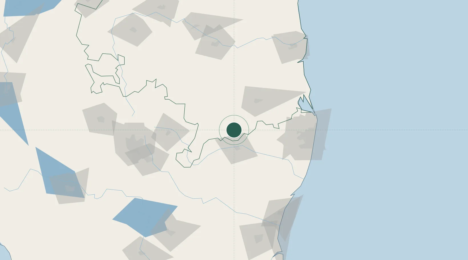
Location
Nearby Logistics Neighbours
Cities
- 1Cclpil Sez/Visakhapatnam8 km
- 2SIPC SEZ/Vellore30 km
- 3Cheyyar-SEZ/Vellore30 km
- 4Renigunta67 km
- 5FIPL SEZ/Kancheepuram78 km
Ports
- 1Chennai (Madras)130 km
- 2Kamarajar Port135 km
- 3Kattupalli Port162 km
- 4Pondicherry162 km
- 5Cuddalore180 km
Airports
- 1Tirupati International Airport68 km
- 2Chennai International Airport118 km
- 3Kadapa Airport150 km
- 4Kempegowda International Airport Bengaluru151 km
- 5Pondicherry Airport157 km
Trade Zones
- 1Flextronics Technologies (India) Private Limited94 km
- 2Sri City100 km
- 3Mahindra City Special Economic Zone112 km
- 4MEPZ Special Economic Zone114 km
- 5DLF Info City118 km
DatabookThe Record of Consolidated Knowledge
India beyond logistics?