UN/LOCODE hub · India
INTLT

LTSL SEZ/Tiruvallur

13.1500°, 79.9167°
2
Transport functions

Transport Functions

Road
Multimodal
UN/LOCODE

Hub Profile

Region
TN
GeoNames

Location

Location of INTLT
Natural Earth 10m (public domain) · TN · INTLT · 13.15, 79.92GoogleOSMYandex

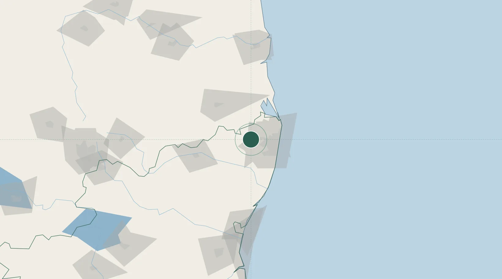
Nearby Logistics Neighbours

Cities
  1. 1Tiruvallur0 km
  2. 2Irungattukottai18 km
  3. 3Irungattukottai-Ilp-ICD20 km
  4. 4Ftil-SEZ/Sriperumbudur21 km
  5. 5JGHIPL SEZ/Sriperumbudur21 km
Nearest neighbours — logibook spatial index (haversine) over the source coordinates
Ports
  1. 1Chennai (Madras)42 km
  2. 2Kamarajar Port48 km
  3. 3Kattupalli Port125 km
  4. 4Pondicherry136 km
  5. 5Cuddalore160 km
Nearest neighbours — logibook spatial index (haversine) over the source coordinates
Airports
  1. 1Chennai International Airport33 km
  2. 2Tirupati International Airport67 km
  3. 3Pondicherry Airport132 km
  4. 4Kadapa Airport196 km
  5. 5Kempegowda International Airport Bengaluru239 km
Nearest neighbours — logibook spatial index (haversine) over the source coordinates
Trade Zones
  1. 1Flextronics Technologies (India) Private Limited28 km
  2. 2DLF Info City32 km
  3. 3MEPZ Special Economic Zone32 km
  4. 4L & T Shipbuilding32 km
  5. 5Sterlite Industries (India) Limited34 km
Nearest neighbours — logibook spatial index (haversine) over the source coordinates
DatabookThe Record of Consolidated Knowledge
India beyond logistics?
Browse databook

All Sources

LocationsUN/LOCODE
UN/LOCODE — free
Portsthe NGA World Port Index
Public domain (US gov)
AirportsOurAirports
Public domain
Trade Zonesthe World Bank SEZ database
CC BY 4.0
Trade ZonesOpen Zone Map
CC BY
← India locations